
OUR THOUGHTS AND PRAYERS ARE WITH THE FAMILIES OF THE AFFECTED WITH THE COVID-19 VIRUS. LET'S MAKE CERTAIN WE KEEP HELPING EACH OTHER. LET'S BE KINDER AND GENTLER TO OUR PLANET.


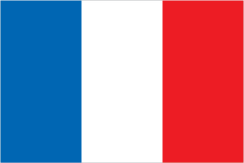
Flag
National anthem

Coat of arms
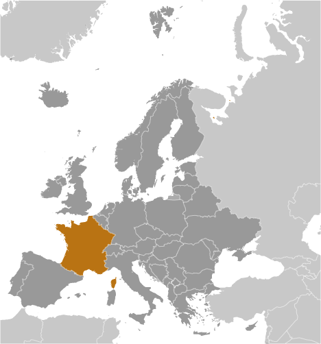
Country location map
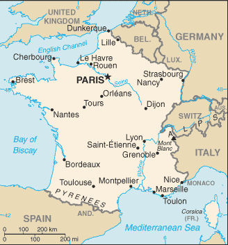
Country static map
Country dynamic (scrollable) map
Current weather & time
-
infoGeneral informationkeyboard_arrow_up
- Country common name: France
- Country official name: French Republic (Republique francaise)
- Continent: Europe
- 3-Letter abbreviation: FRA
- 2-Letter abbreviation: FR
- Capital: Paris
- Major cities: 11.017 million PARIS (capital), 1.719 million Lyon, 1.608 million Marseille-Aix-en-Provence, 1.063 million Lille, 1.024 million Toulouse, 969,000 Bordeaux
- Currency: Euro (click for current conversion rates)
- Languages: French (official) 100%, declining regional dialects and languages (Provencal, Breton, Alsatian, Corsican, Catalan, Basque, Flemish, Occitan, Picard)
- Motto: "Liberty, equality, fraternity"
- National holiday(s): Fete de la Federation, 14 July (1790) - although often incorrectly referred to as Bastille Day, the celebration actually commemorates the holiday held on the first anniversary of the storming of the Bastille (on 14 July 1789) and the establishment of a constitutional monarchy; other names for the holiday are Fete Nationale (National Holiday) and quatorze juillet (14th of July)
flagGovernmentkeyboard_arrow_up- Chief of state: President Emmanuel MACRON (since 14 May 2017)
- Head of government: Prime Minister Francois BAYROU (since 13 December 2024)
- Government type: semi-presidential republic
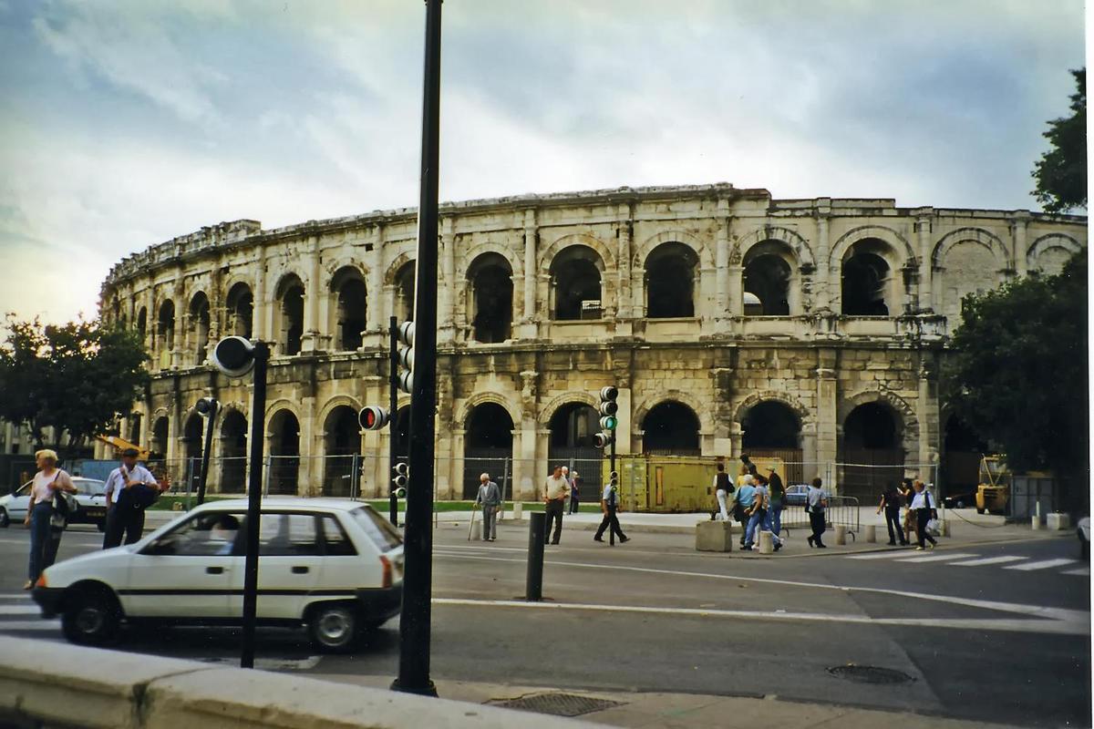
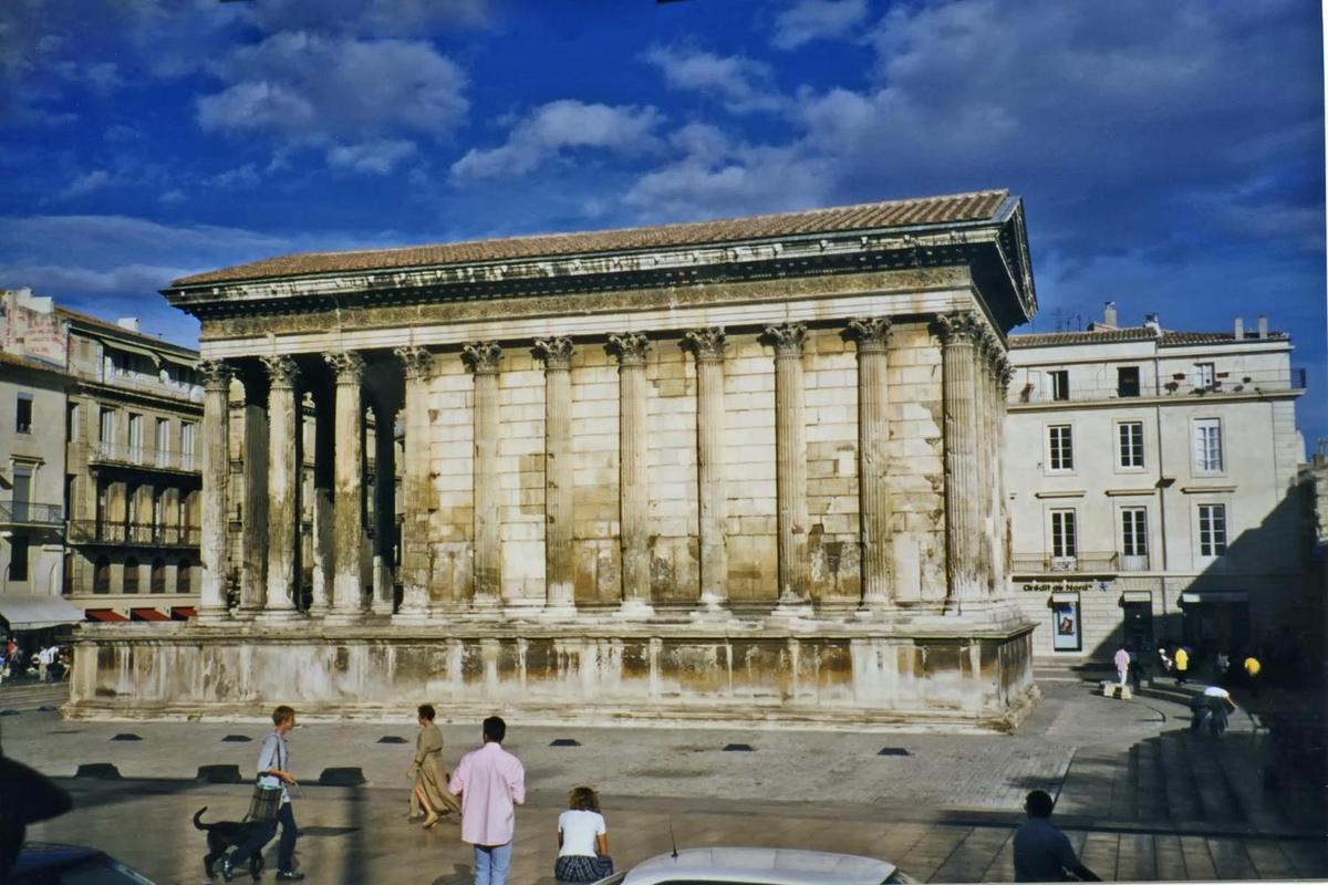
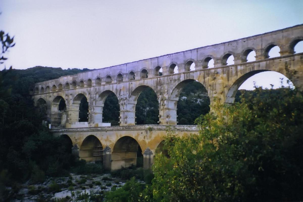
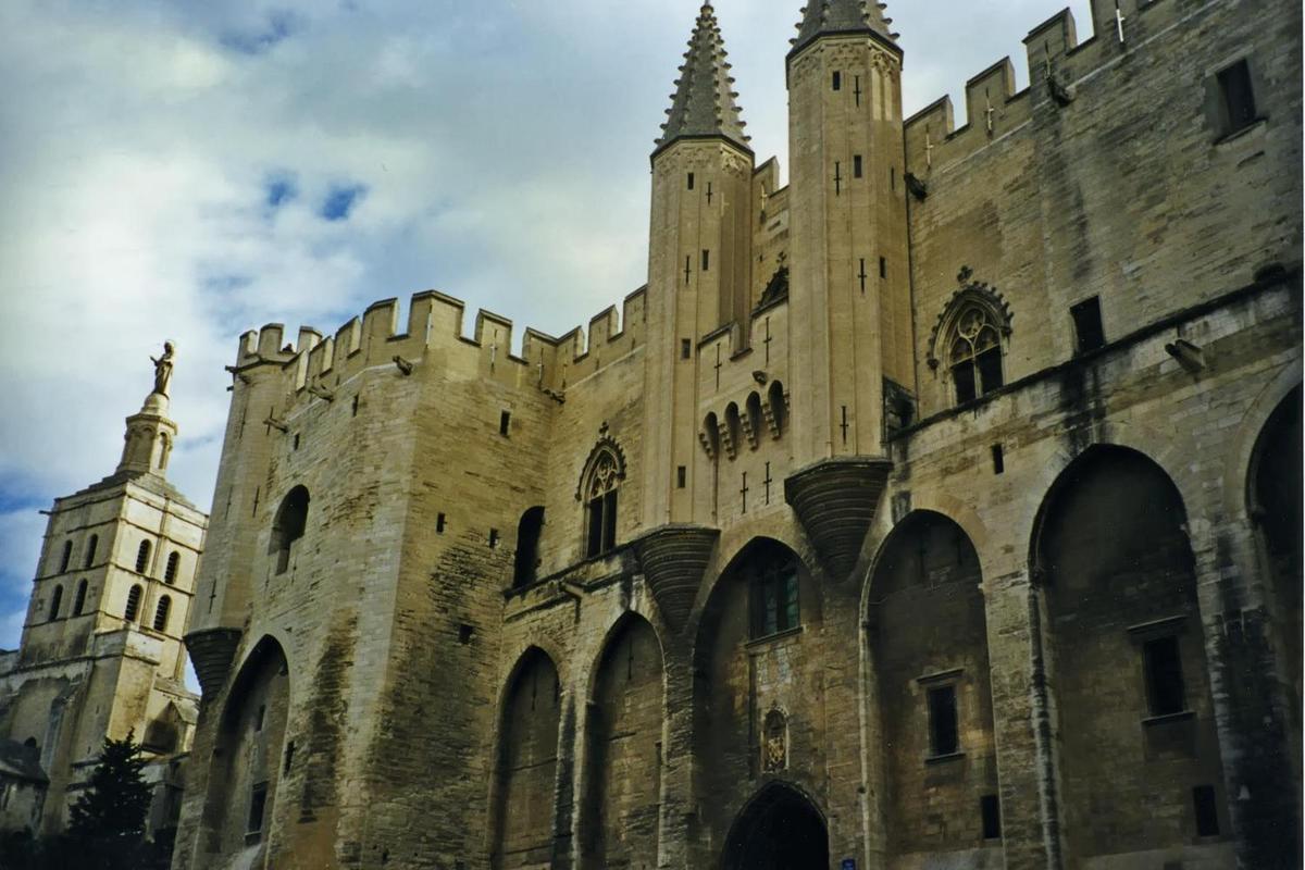
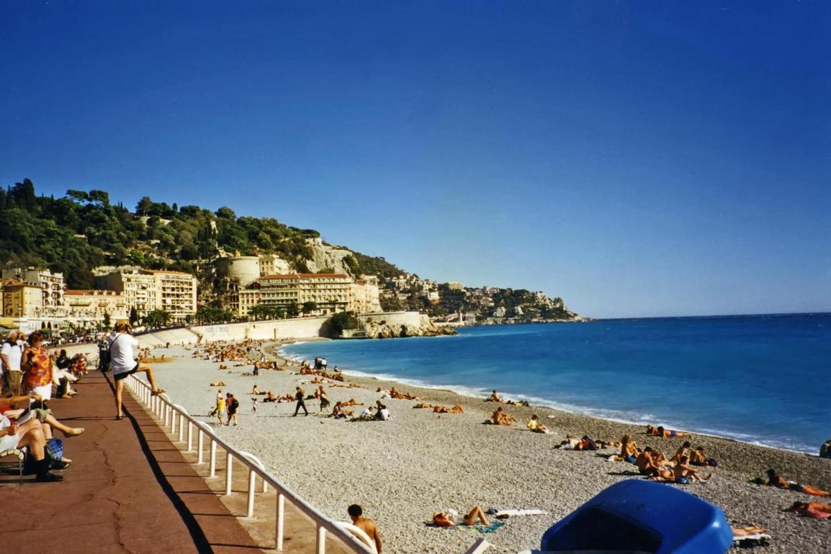
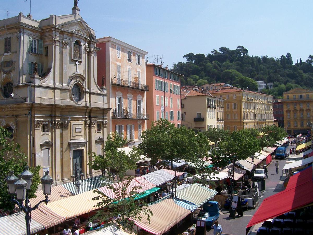
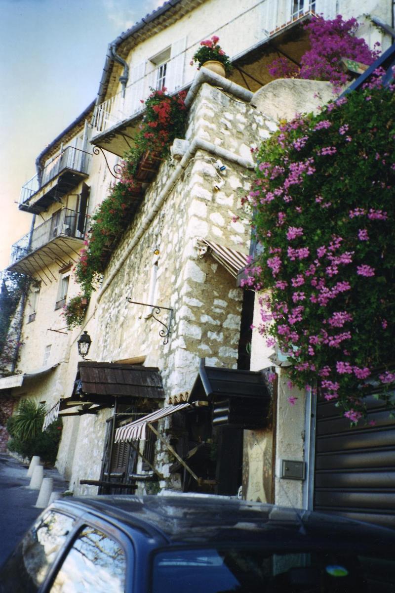
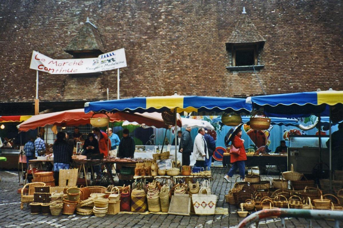
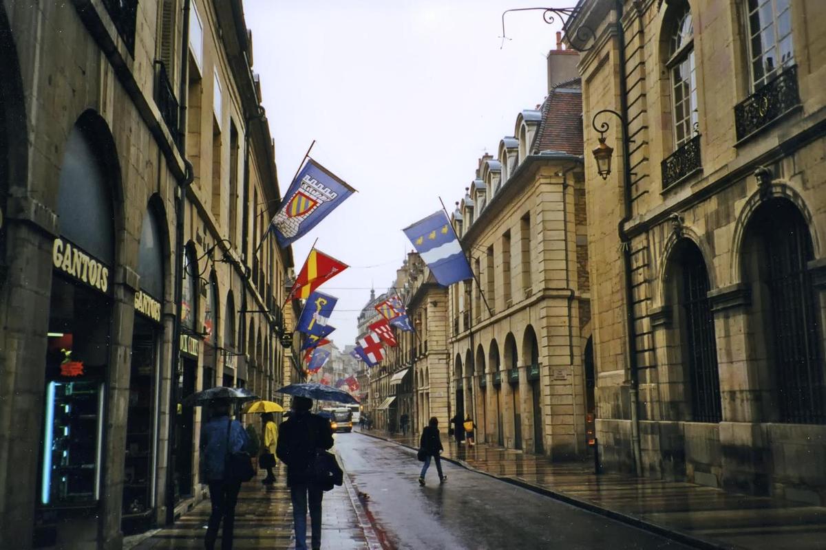
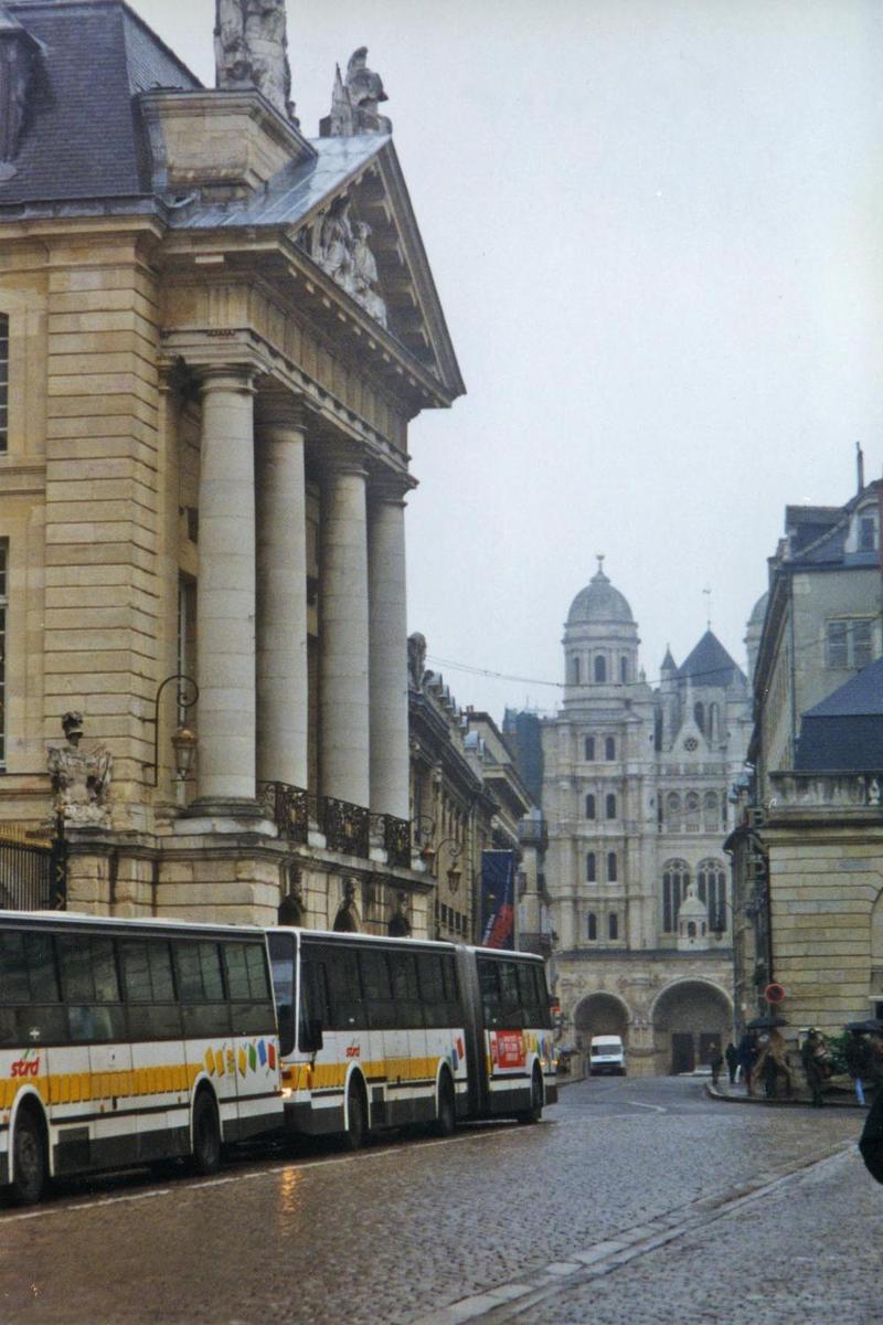
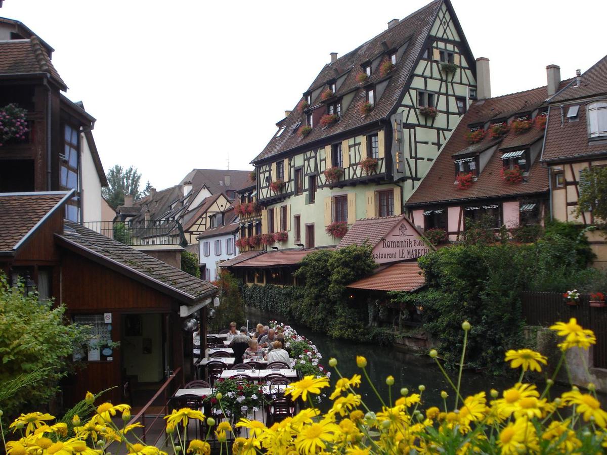
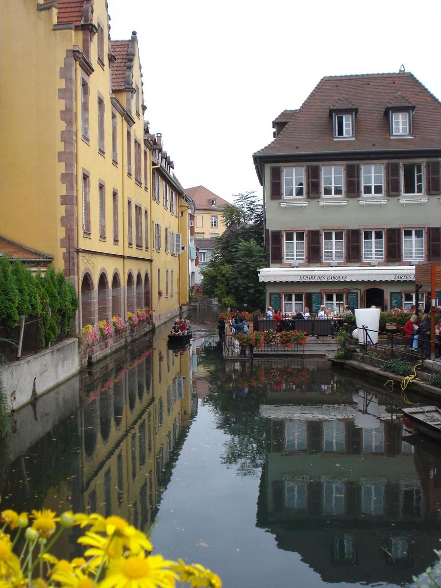
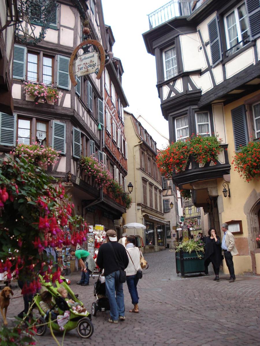
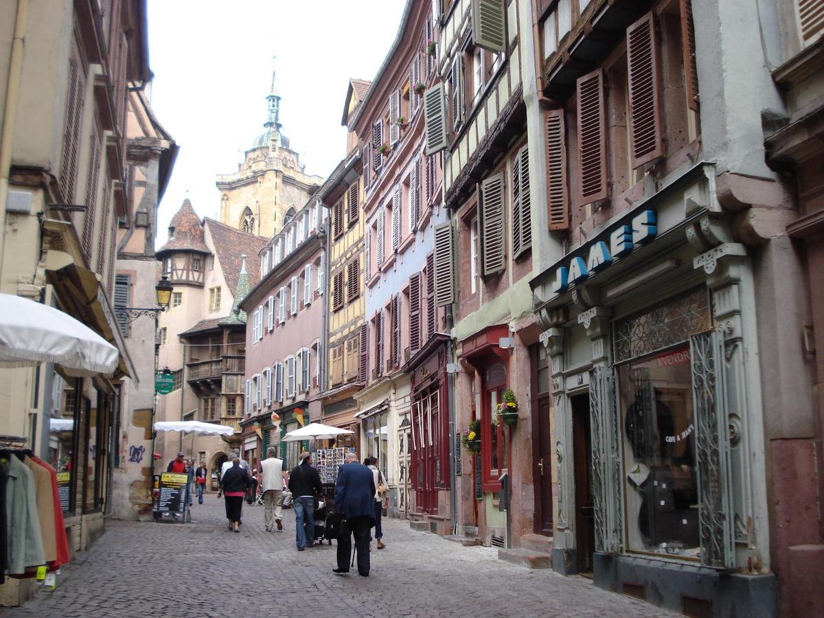
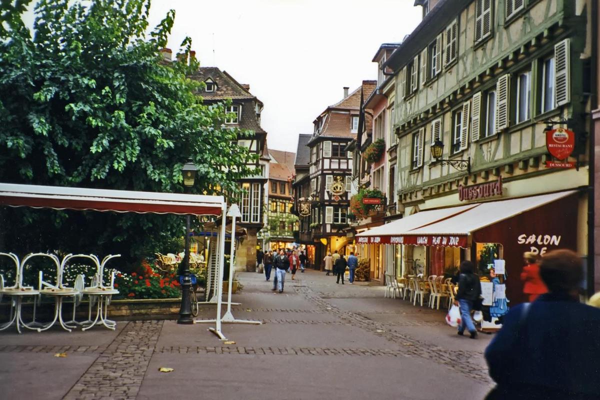
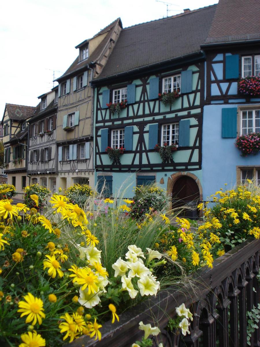
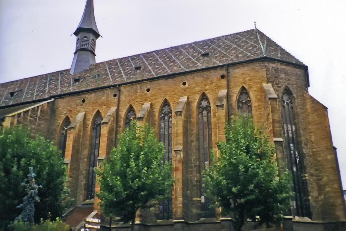
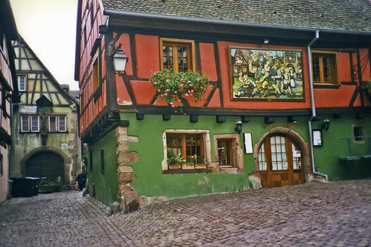
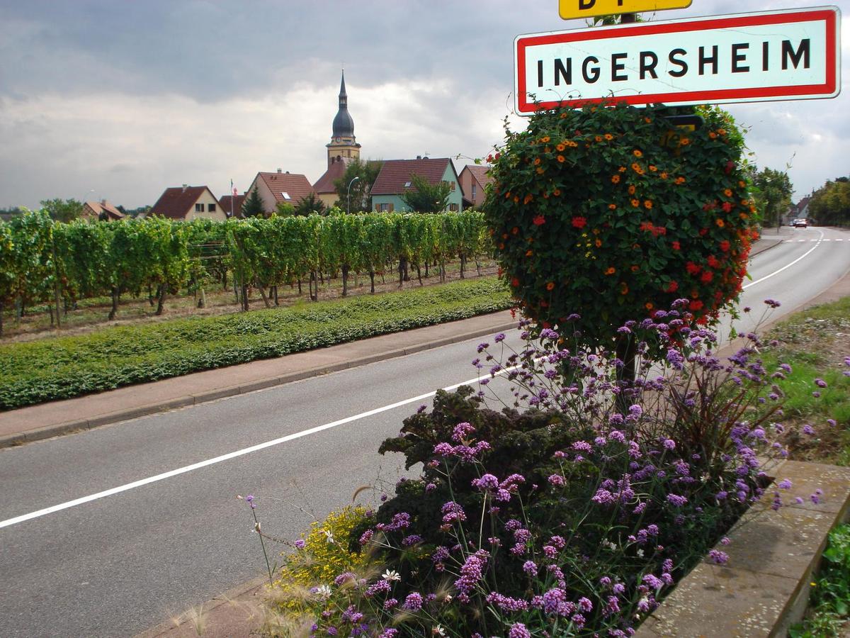
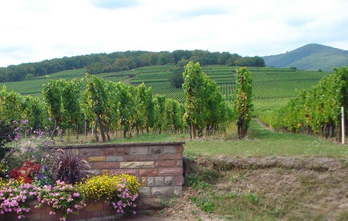
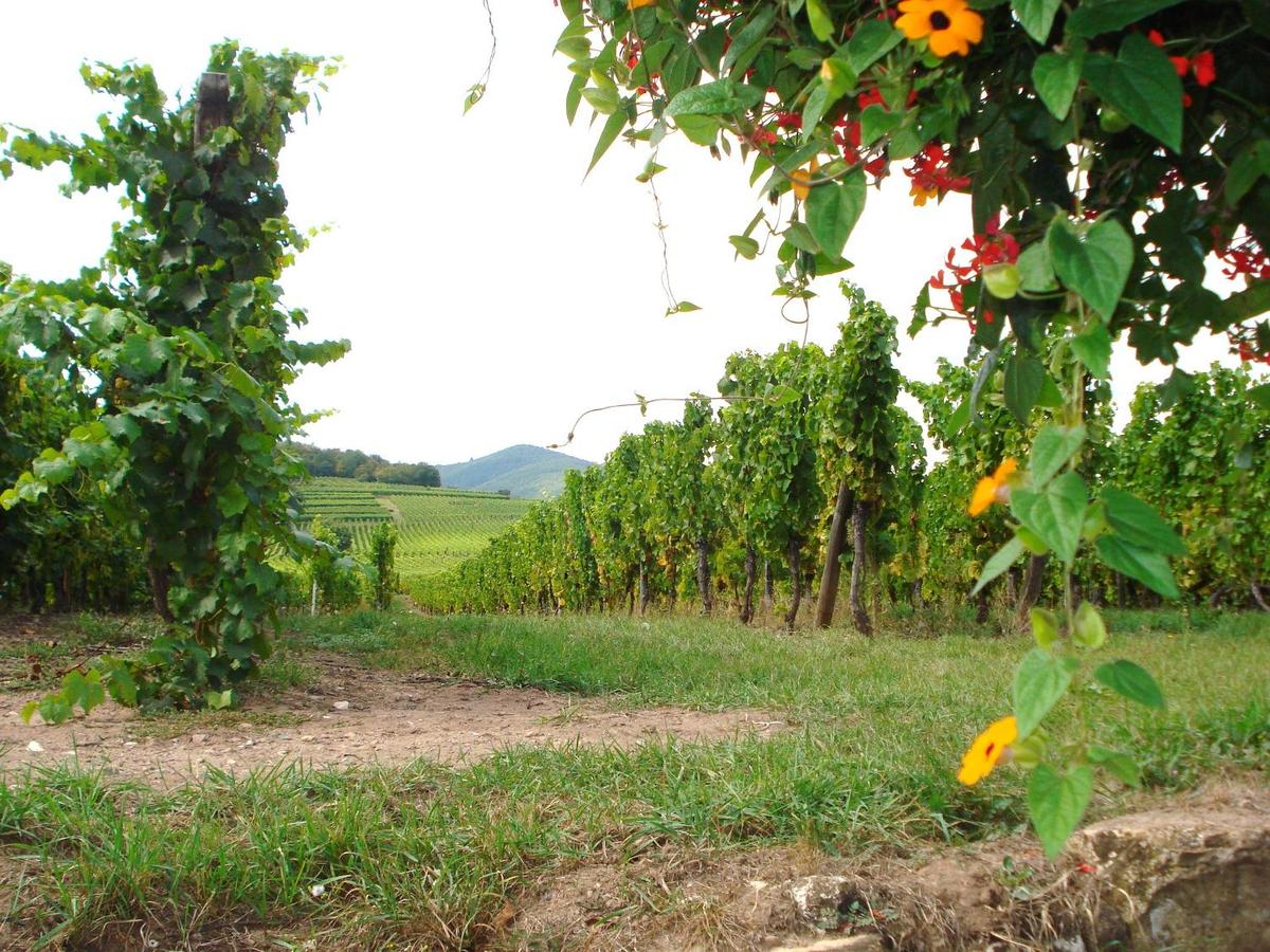
insert_photoCountry notes & photographskeyboard_arrow_upterrainGeographic informationkeyboard_arrow_up- Surface area (in km²): 643,801
- Highest point: Mont Blanc 4,810
- Neighboring countries: Andorra 55 km, Belgium 556 km, Germany 418 km, Italy 476 km, Luxembourg 69 km, Monaco 6 km, Spain 646 km, Switzerland 525 km
- Neighboring seas and oceans: None
- Climate: metropolitan France
radioRadio stationskeyboard_arrow_upsupervised_user_circlePopulationkeyboard_arrow_up- Population: 67,848,156
- Population density (inhabitants per km²): 105.4
- Average age (in years): 41.7
- Life expectancy at birth (in years): 82.2
- Ethnicity: Celtic and Latin with Teutonic, Slavic, North African, Indochinese, Basque minorities
- Gross domestic product (GDP) per inhabitant (in US dollars): 44,100
- Cultural practices: Hugging is a much less common form of greeting in France than in other countries, and may be received uncomfortably.
local_diningPopular food & drinkskeyboard_arrow_up{"ops":[{"attributes":{"bold":true,"link":"https://www.cyberspace23.com/recipe-display.php?id=44"},"insert":"French onion soup"},{"insert":" is a type of soup usually based on "},{"attributes":{"italic":true},"insert":"meat stock"},{"insert":" and "},{"attributes":{"italic":true},"insert":"onions"},{"insert":", and often served gratinated with "},{"attributes":{"italic":true},"insert":"croutons "},{"insert":"or a larger piece of bread covered with cheese floating on top. Although ancient in origin, the dish underwent a resurgence of popularity in the 1960s in the United States due to a greater interest in French cuisine. French onion soup may be served as a "},{"attributes":{"bold":true},"insert":"meal"},{"insert":" in itself or as a "},{"attributes":{"bold":true},"insert":"first course"},{"insert":". Onion soups have been popular at least as far back as Roman times. Throughout history, they were seen as food for poor people, as onions were plentiful and easy to grow. The modern version of this soup originated in "},{"attributes":{"bold":true},"insert":"Paris"},{"insert":", France in the "},{"attributes":{"bold":true},"insert":"18th century"},{"insert":", made from beef broth, and caramelized onions.\n"}]}
{"ops":[{"attributes":{"bold":true},"insert":"Escargot"},{"insert":", from the French word for "},{"attributes":{"bold":true},"insert":"snail"},{"insert":", is a dish consisting of "},{"attributes":{"italic":true},"insert":"cooked land snails"},{"insert":". It is often served as an "},{"attributes":{"italic":true},"insert":"hors d'oeuvre"},{"insert":" and is common in "},{"attributes":{"bold":true},"insert":"France "},{"insert":"and parts of India. Escargot is part of the typical cuisines of Cyprus, Malta, Crete, areas of mainland Greece, as well as the North African countries Tunisia, Algeria, and Morocco. Escargot is consumed in Germany, Great Britain, Italy, Portugal, and Spain. Not all species of land snail are edible, and many are too small - not worthwhile to prepare and cook them. Among the edible species, the palatability of the flesh varies. In "},{"attributes":{"bold":true},"insert":"France"},{"insert":", the species eaten most often is "},{"attributes":{"italic":true,"bold":true},"insert":"Helix pomatia"},{"insert":". The \""},{"attributes":{"italic":true},"insert":"petit-gris"},{"insert":"\" "},{"attributes":{"italic":true},"insert":"Cornu aspersa"},{"insert":" and "},{"attributes":{"italic":true},"insert":"Helix lucorum"},{"insert":" are also eaten. Several additional species, such as "},{"attributes":{"italic":true},"insert":"Elona quimperiana"},{"insert":", are popular in Europe.\n"}]}
{"ops":[{"attributes":{"bold":true},"insert":"Roquefort"},{"insert":" is a "},{"attributes":{"bold":true},"insert":"sheep milk cheese"},{"insert":" from "},{"attributes":{"bold":true},"insert":"Southern France"},{"insert":", and is one of the world's best known "},{"attributes":{"bold":true},"insert":"blue cheeses"},{"insert":". Though similar cheeses are produced elsewhere, the "},{"attributes":{"italic":true},"insert":"European Union (EU"},{"insert":") law dictates that only those cheeses aged in the natural"},{"attributes":{"bold":true},"insert":" Combalou caves"},{"insert":" of "},{"attributes":{"bold":true},"insert":"Roquefort-sur-Soulzon"},{"insert":" may bear the name Roquefort, as it is a recognized geographical indication, or has a protected designation of origin. The cheese is "},{"attributes":{"bold":true},"insert":"white"},{"insert":", "},{"attributes":{"bold":true},"insert":"tangy"},{"insert":", "},{"attributes":{"bold":true},"insert":"crumbly "},{"insert":"and "},{"attributes":{"bold":true},"insert":"slightly mois"},{"insert":"t, with distinctive veins of "},{"attributes":{"bold":true},"insert":"blue mold"},{"insert":". It has a characteristic fragrance and flavor with a notable taste of "},{"attributes":{"italic":true},"insert":"butyric acid"},{"insert":"; the blue veins provide a sharp tang. It has no rind; the exterior is edible and slightly salty. A typical wheel of Roquefort weighs between 2.5 and 3 kg (6 and 7 lb), and is about 10 cm (4 in) thick. Each kilogram of finished cheese requires about 4.5 liters (about 1 USA gal) of milk to produce. In France, Roquefort is often called the "},{"attributes":{"bold":true},"insert":"\"King of Cheeses\""},{"insert":" or the "},{"attributes":{"bold":true},"insert":"\"Cheese of Kings\""},{"insert":", although those names are also used for other cheeses. Photo credit: Dominik Hundhammer.\n"}]}
{"ops":[{"attributes":{"bold":true},"insert":"Champagne"},{"insert":" is a "},{"attributes":{"bold":true},"insert":"sparkling wine"},{"insert":" originated and produced in the "},{"attributes":{"bold":true},"insert":"Champagne wine region"},{"insert":" of France under the rules of the "},{"attributes":{"bold":true},"insert":"appellation"},{"insert":", that demand specific vineyard practices, sourcing of grapes exclusively from designated places within it, specific grape-pressing methods and secondary fermentation of the wine in the bottle to cause carbonation. The grapes "},{"attributes":{"bold":true},"insert":"Pinot noir"},{"insert":", "},{"attributes":{"bold":true},"insert":"Pinot meunier"},{"insert":", and "},{"attributes":{"bold":true},"insert":"Chardonnay"},{"insert":" are used to produce almost all Champagne, but small amounts of Pinot blanc, Pinot gris (called Fromenteau in Champagne), Arbane, and Petit Meslier are vinified as well. Champagne became associated with "},{"attributes":{"bold":true},"insert":"royalty "},{"insert":"in the "},{"attributes":{"bold":true},"insert":"17th"},{"insert":", "},{"attributes":{"bold":true},"insert":"18th"},{"insert":", and "},{"attributes":{"bold":true},"insert":"19th centuries"},{"insert":". The leading manufacturers made efforts to associate their Champagnes with nobility and royalty through advertising and packaging, which led to its popularity among the emerging middle class.\n"}]}
local_post_officePostage stampskeyboard_arrow_up{"ops":[{"insert":"The first stamps of France were issued on 1 January "},{"attributes":{"bold":true},"insert":"1849"},{"insert":". They were designed by Jacques-Jean Barre. The medallion depicts the "},{"attributes":{"bold":true},"insert":"head of goddess Ceres"},{"insert":" facing left. In 1852 a new series of definitive stamps were issued, retaining the inscription \"REPUB FRANC\" but replacing Ceres with the head of "},{"attributes":{"bold":true},"insert":"Louis-Napoleon Bonaparte"},{"insert":".\n"}]}
{"ops":[{"insert":"In "},{"attributes":{"bold":true},"insert":"1853"},{"insert":", after proclamation of the "},{"attributes":{"bold":true},"insert":"2nd Empire"},{"insert":", the inscription was changed to "},{"attributes":{"bold":true},"insert":"\"EMPIRE FRANC\""},{"insert":", while retaining the head of "},{"attributes":{"bold":true},"insert":"Napoleon III"},{"insert":" in the medallion.\nStarting in 1862, a new type of definitive stamp was introduced. It depicts the head of Napoleon III with a laurel wreath and the inscription changed to "},{"attributes":{"bold":true},"insert":"\"EMPIRE-FRANCAIS\""},{"insert":". The Napoleon stamps remained in use until the fall of the 2nd Empire in "},{"attributes":{"bold":true},"insert":"1870"},{"insert":".\n"}]}
{"ops":[{"insert":"The above "},{"attributes":{"bold":true},"insert":"2010"},{"insert":" stamp commemorates the 100th Anniversary of the First Flight by Seaplane by Henri Fabre "},{"attributes":{"bold":true},"insert":"Henri Fabre"},{"insert":" (29 November 1882 - 30 June 1984) was a French aviator and the inventor of the first successful seaplane, the "},{"attributes":{"bold":true},"insert":"Fabre Hydravion"},{"insert":". Henri Fabre was born into a prominent family of shipowners in the city of Marseille. He was educated in the Jesuit College of Marseilles where he undertook advanced studies in sciences. He intensively studied aeroplane and propeller designs. He patented a system of flotation devices which he used when he succeeded in taking off from the surface of the Etang de Berre on 28 March 1910. On that day, he completed "},{"attributes":{"bold":true},"insert":"four consecutive flights"},{"insert":", the longest about 600 meters. the "},{"attributes":{"italic":true},"insert":"Hydravion"},{"insert":" has survived and is displayed in the Musee de l'air et de l'espace (English: Air and Space Museum) in Paris. Henri Fabre was soon contacted by Glenn Curtiss and Gabriel Voisin who used his invention to develop their own seaplanes. As late as "},{"attributes":{"bold":true},"insert":"1971"},{"insert":", Fabre he was still sailing his own boat single-handedly in Marseille harbor. He died at the age of "},{"attributes":{"bold":true},"insert":"101"},{"insert":" as one of the "},{"attributes":{"bold":true},"insert":"last living pioneers of human flight"},{"insert":".\n"}]}
{"ops":[{"insert":"In "},{"attributes":{"bold":true},"insert":"2021"},{"insert":" the "},{"attributes":{"bold":true},"insert":"French National Center for Space Studies (CNES)"},{"insert":", celebrated its "},{"attributes":{"bold":true},"insert":"60th anniversary"},{"insert":". The occasion was marked by a commemorative stamp. At 60 year old CNES does not have to be ashamed of its record. When it was created on December 19, "},{"attributes":{"bold":true},"insert":"1961"},{"insert":", the French space agency was little more than a design office set up to complement the "},{"attributes":{"bold":true},"insert":"Diamant"},{"insert":" national launchers project. The latter was launched the day before under the aegis of the military, as the culmination of the "},{"attributes":{"bold":true},"insert":"Precious Stone program"},{"insert":", the purpose of which is above all to develop French ballistic deterrence technologies. CNES has been cooperating in all directions, placing the agency as an essential partner on the international scene – except in North Korea – to the point of opening outlets for French scientists on the most fascinating missions. An American Martian probe, "},{"attributes":{"bold":true},"insert":"Insight"},{"insert":", was even designed around a French seizmometer. CNES fosters innovation, by supporting both technologies from laboratories and its traditional partners, as well as start-ups.\n"}]}
tap_and_playTelephone & Internet communicationkeyboard_arrow_up- Country international telephone code: +33
- Local emergency telephone number(s): Ambulance: 112, 15; Fire: 112, 18; Police: 112, 17
- Internet code: .fr
- Number of Internet users: 59,926,585
- Percentage of Internet-connected population: 88.3%
gradeAlso useful to knowkeyboard_arrow_up


 keyboard_arrow_up