![]()
North America
& Caribbean |
![]()
South America
|
![]()
Africa
|
![]()
Asia
|
![]()
Europe
|
![]()
Australia &
Oceania |
![]()
Country Rankings
|
![]()
Beyond
Earth |
OUR THOUGHTS AND PRAYERS ARE WITH THE FAMILIES OF THE AFFECTED WITH THE COVID-19 VIRUS. LET'S MAKE CERTAIN WE KEEP HELPING EACH OTHER. LET'S BE KINDER AND GENTLER TO OUR PLANET.

Flag
National anthem

Coat of arms

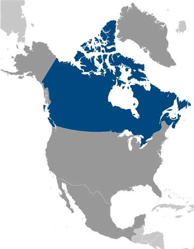
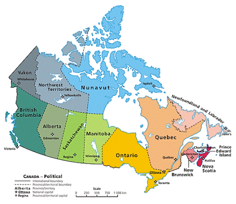
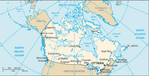
Country location map

Country static map
Country dynamic (scrollable) map
Current weather & time
-
infoGeneral informationkeyboard_arrow_up
- Country common name: Canada
- Country official name: Dominion of Canada
- Continent: North America & Caribbean
- 3-Letter abbreviation: CAN
- 2-Letter abbreviation: CA
- Capital: Ottawa
- Major cities: Toronto, Ontario (2,600,000); Montreal, Quebec (1,600,000); Calgary, Alberta (1,020,000); Ottawa, Ontario (capital)(813,000)
- Currency: Canadian dollar (click for current conversion rates)
- Languages: English (official) 58.7%, French (official) 22%, Punjabi 1.4%, Italian 1.3%, Spanish 1.3%, German 1.3%, Cantonese 1.2%, Tagalog 1.2%, Arabic 1.1%, other 10.5%
- Motto: ("A Mari Usque Ad Mare", Latin ) "From Sea to Sea"
- National holiday(s): Canada Day, 1 July (1867)
flagGovernmentkeyboard_arrow_up- Chief of state: Queen ELIZABETH II (since 6 February 1952); represented by Acting Governor General Richard WAGNER (since 21 January 2021)
- Head of government: Prime Minister Justin Pierre James TRUDEAU (Liberal Party) (since 4 November 2015)
- Government type: federal parliamentary democracy (Parliament of Canada) under a constitutional monarchy; a Commonwealth realm; federal and state authorities and responsibilities regulated in constitution
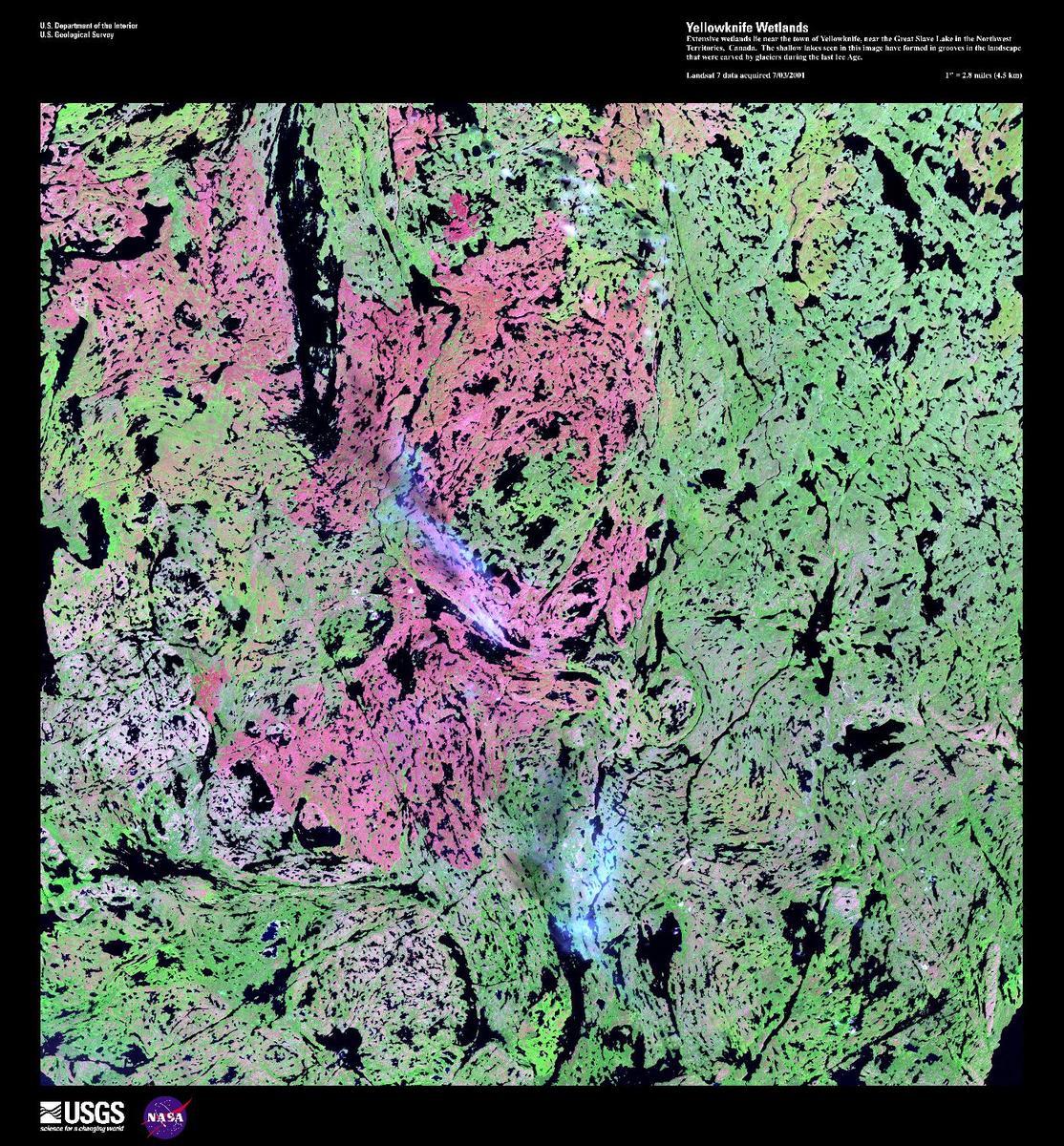
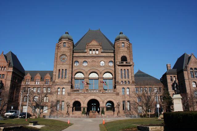
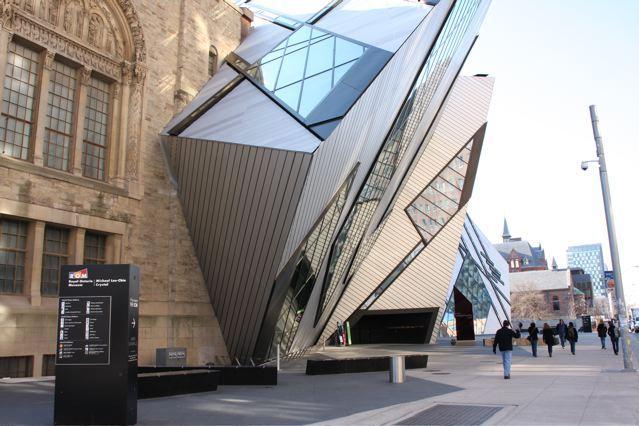
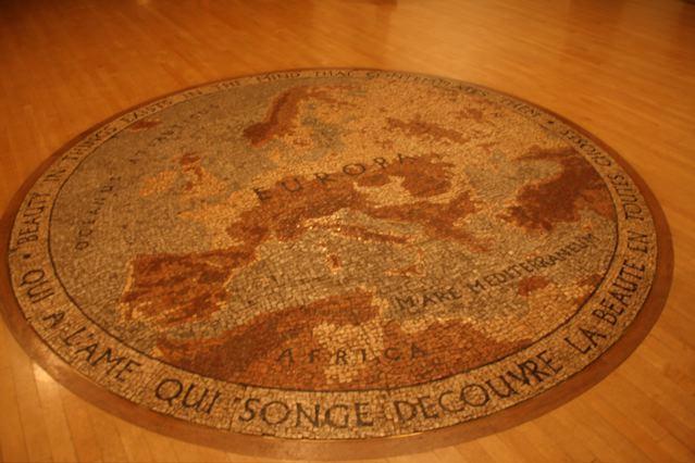
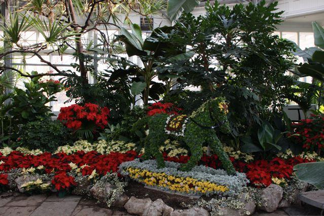
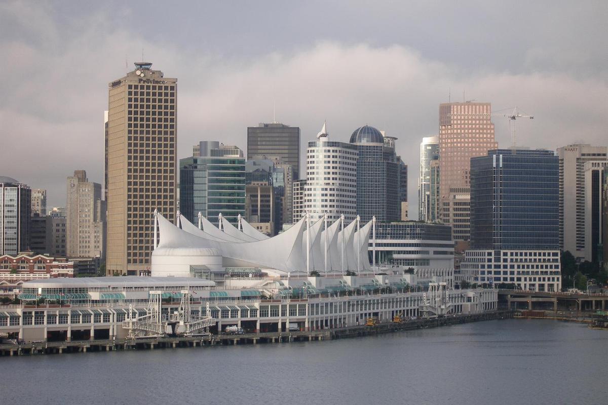
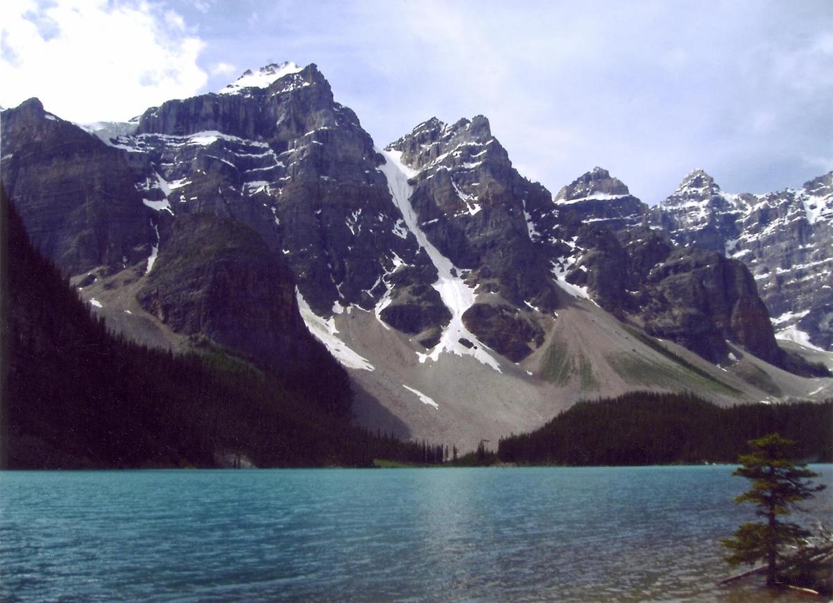
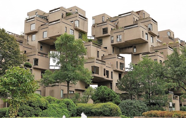
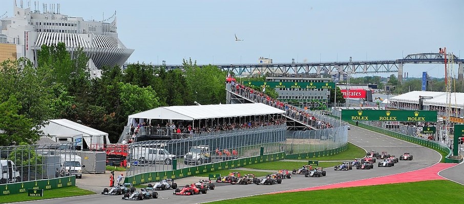
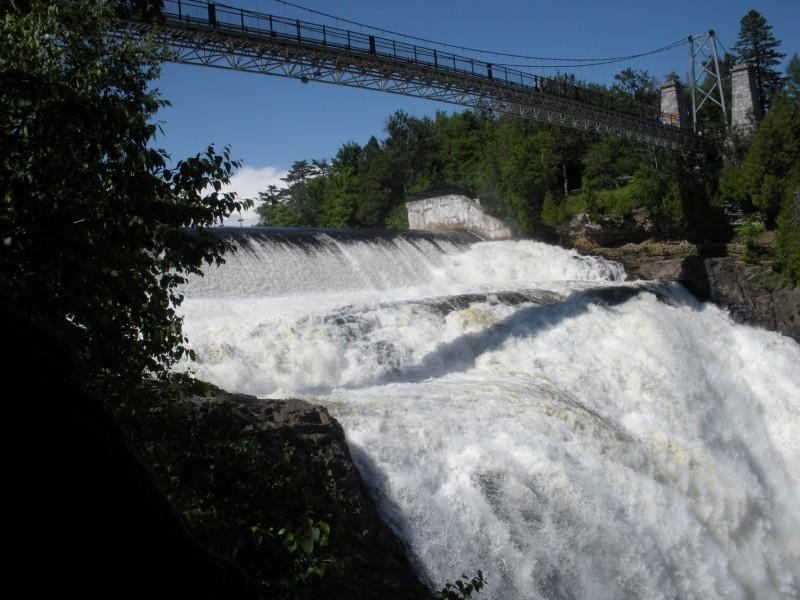
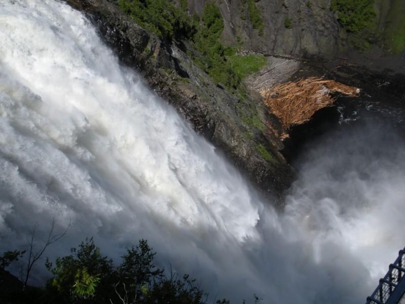
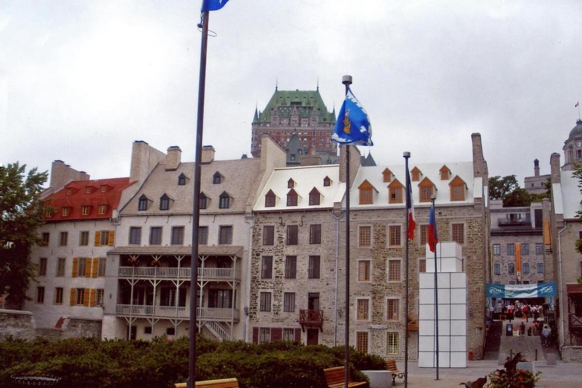
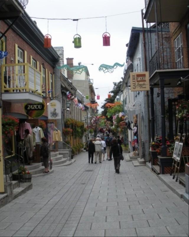
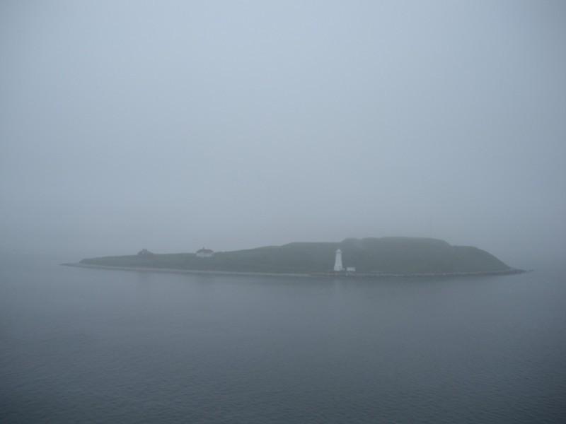
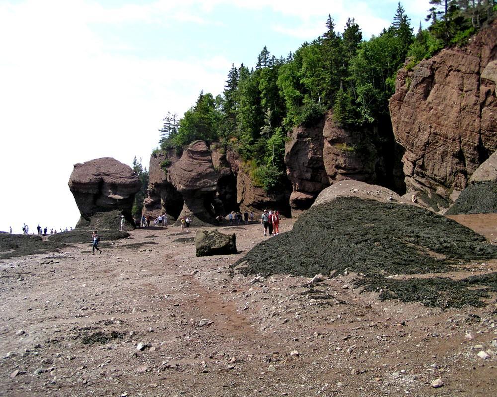
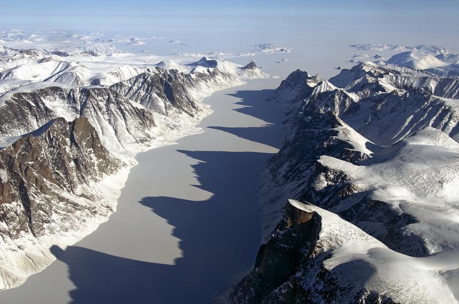
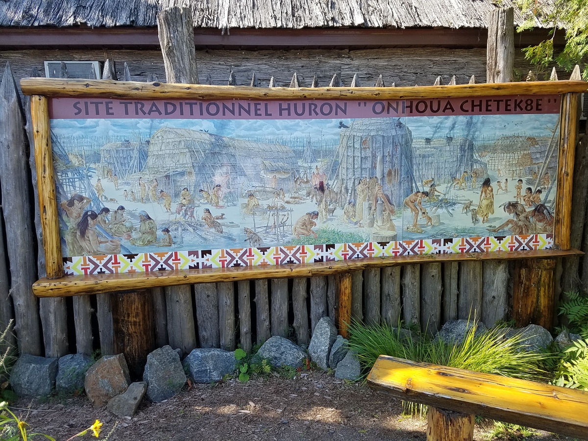
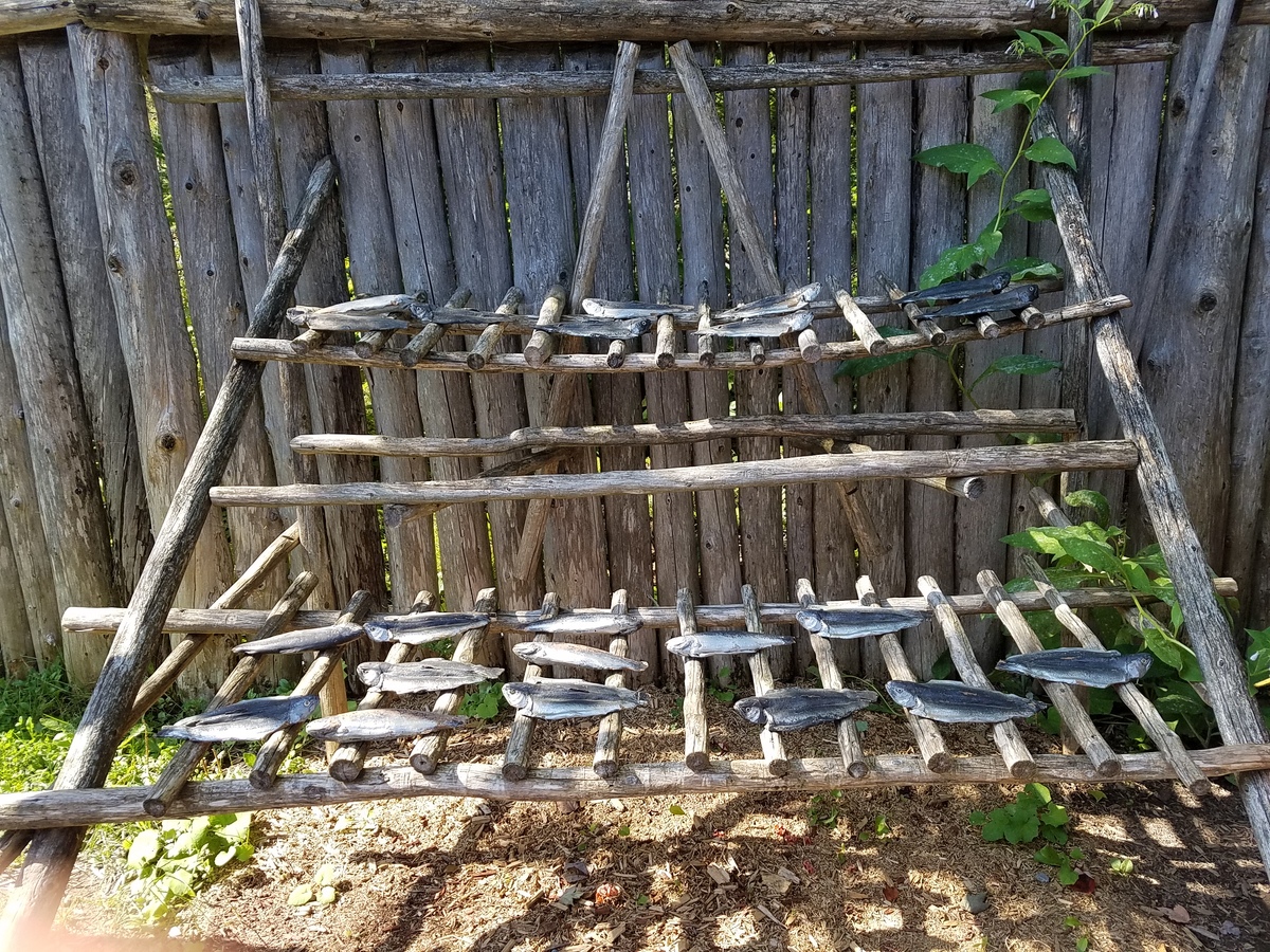
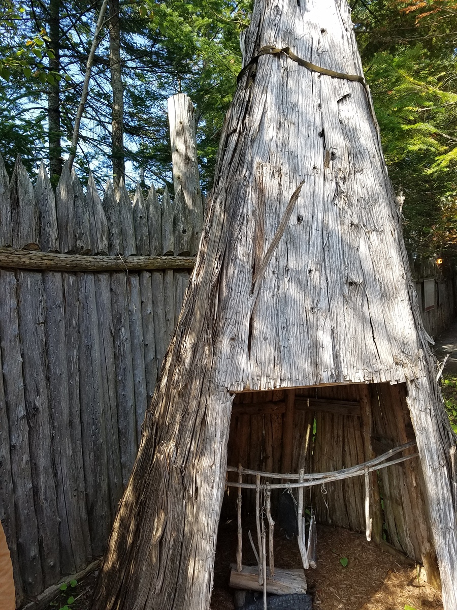
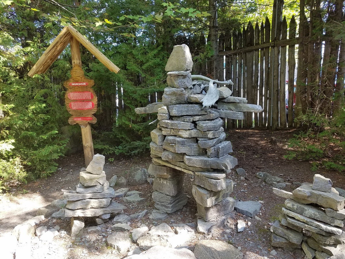
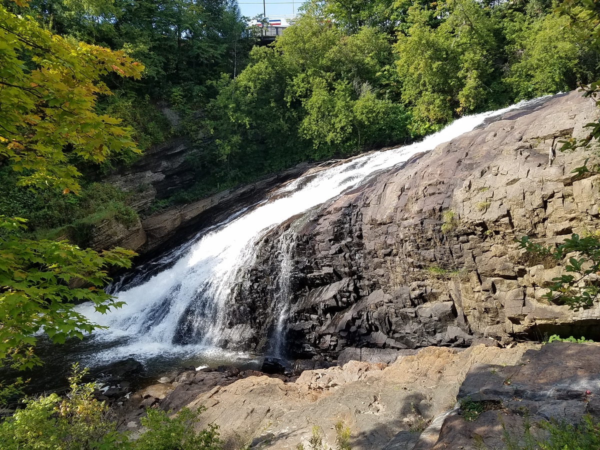
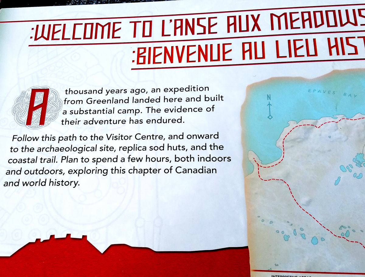
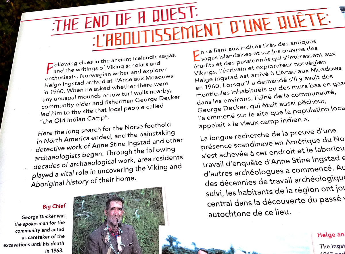
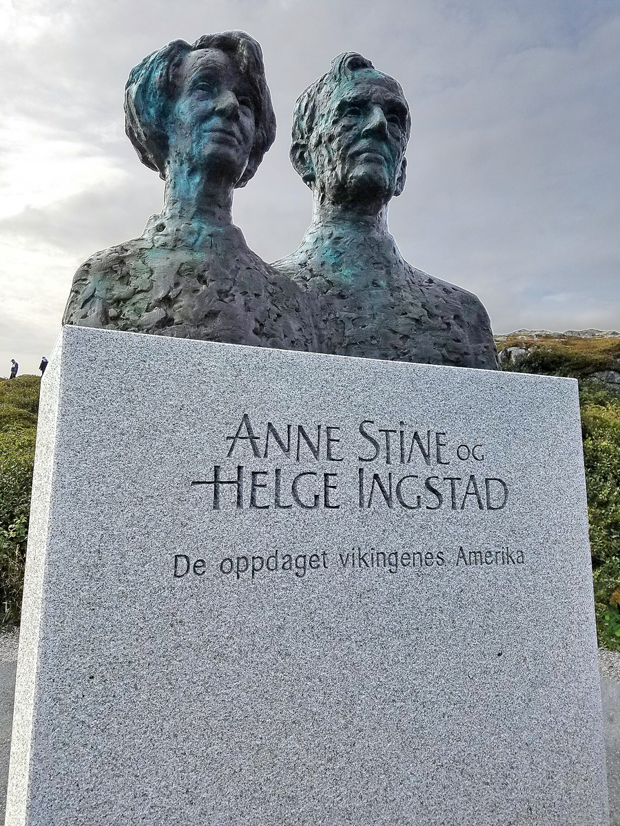
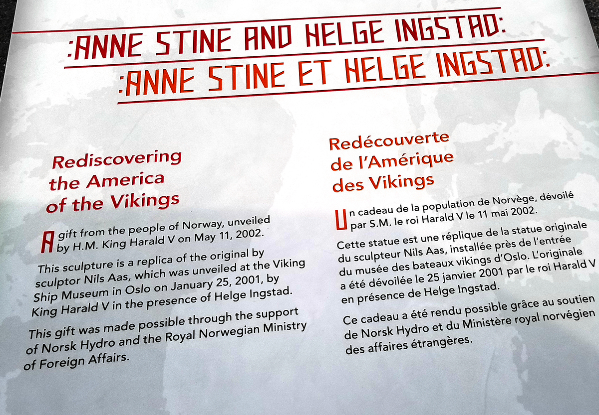
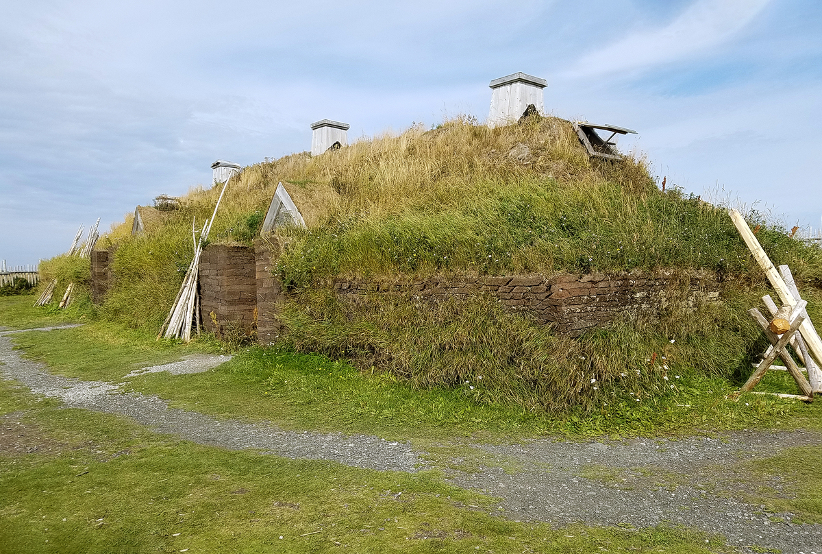
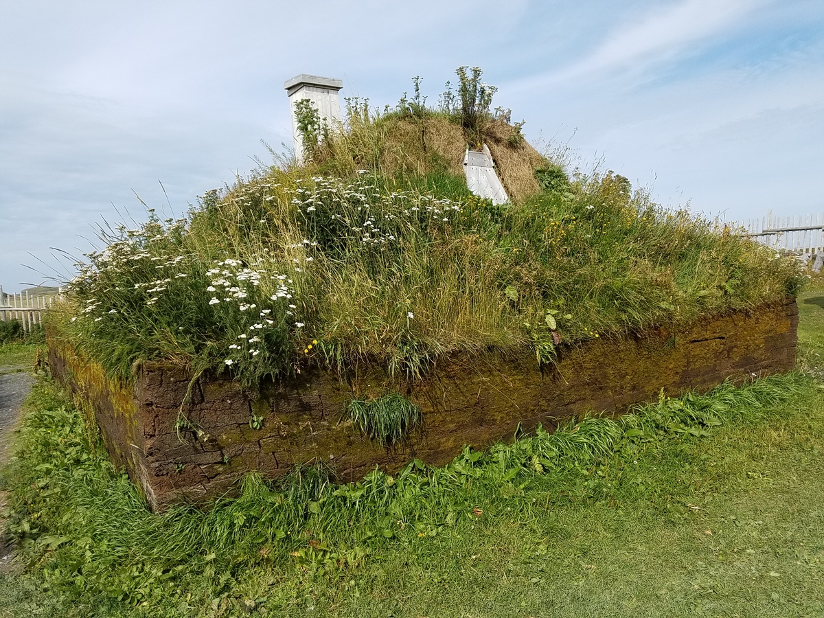
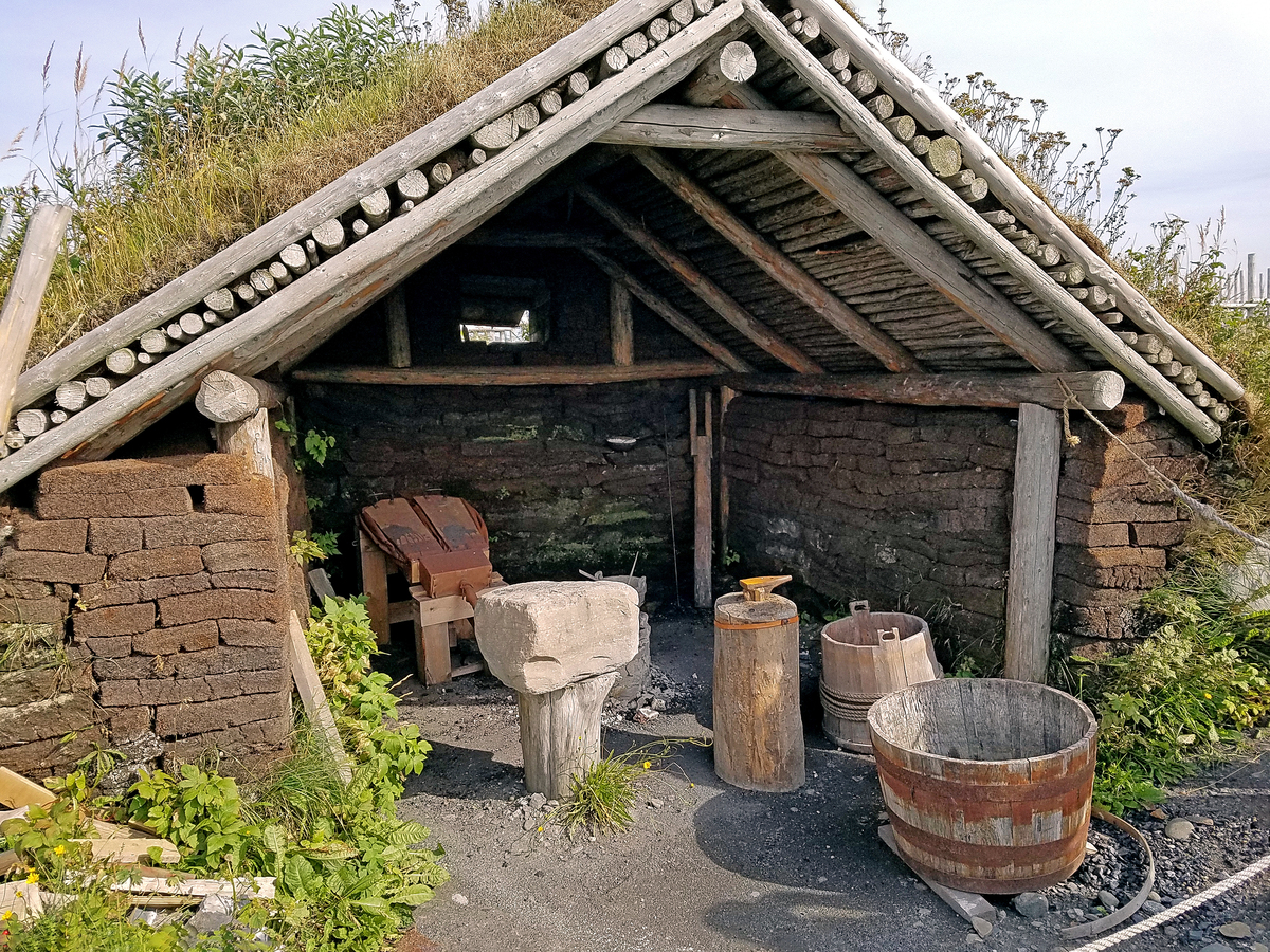
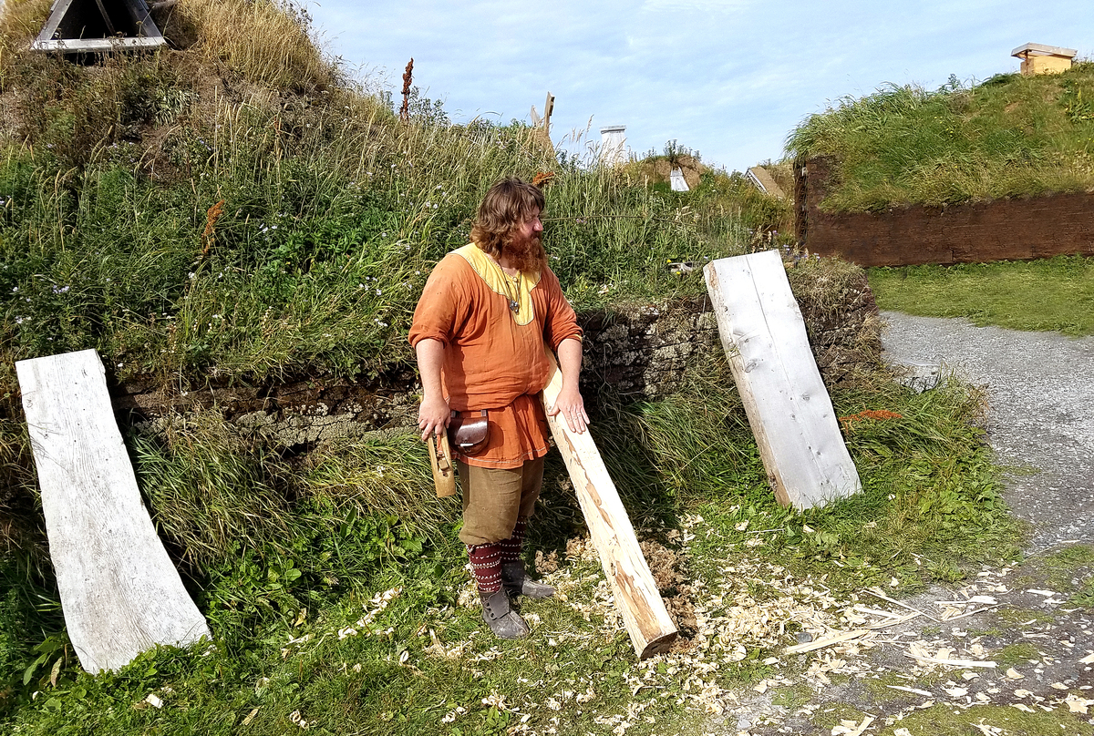
insert_photoCountry notes & photographskeyboard_arrow_up{"ops":[{"attributes":{"bold":true},"insert":"Canada"},{"insert":" is a country occupying most of northern North America. It is the world's second-largest country by total area, and extends from the Atlantic Ocean to the Pacific Ocean and northward into the Arctic Ocean. Canada shares land borders with the United States to the northwest and south.\n\nInhabited first by aboriginal peoples, Canada was founded in "},{"attributes":{"bold":true},"insert":"1867"},{"insert":" as a union of British colonies (some of which were formerly French colonies). It gained independence from the United Kingdom in an incremental process that ended in "},{"attributes":{"bold":true},"insert":"1982"},{"insert":". It remains a "},{"attributes":{"italic":true},"insert":"Commonwealth Realm"},{"insert":" with Queen Elizabeth II as its head of state.\n\nCanada is a federal constitutional monarchy with parliamentary democracy. Comprising ten provinces and three territories, Canada is a bilingual and multicultural country, with both English and French as official languages at the federal level. A technologically advanced and industrialized nation, Canada maintains a diversified economy that is heavily reliant upon its abundant natural resources and upon trade particularly with the United States, with which Canada has had a long and complex relationship.\n\nCanada has more fresh water than any other country and almost 9% of Canadian territory is water; According to various sources, Canada has at least 2 million and possibly over 3 million lakes -- that is more than all other countries combined.\n"}]}terrainGeographic informationkeyboard_arrow_up- Surface area (in km²): 9,984,670
- Highest point: Mount Logan 5,959 m
- Neighboring countries: US 8893 km (includes 2477 km with Alaska)
- Neighboring seas and oceans: Atlantic Ocean
- Climate: varies from temperate in south to subarctic and arctic in north
radioRadio stationskeyboard_arrow_upsupervised_user_circlePopulationkeyboard_arrow_up- Population: 37,894,799
- Population density (inhabitants per km²): 3.8
- Average age (in years): 41.8
- Life expectancy at birth (in years): 83.4
- Ethnicity: Canadian 32.3%, English 18.3%, Scottish 13.9%, French 13.6%, Irish 13.4%, German 9.6%, Chinese 5.1%, Italian 4.6%, North American Indian 4.4%, East Indian 4%, other 51.6%
- Gross domestic product (GDP) per inhabitant (in US dollars): 48,400
- Cultural practices: Talking about politics can be more sensitive in Canada than in America. Canadians treat politics as a mostly private affair, and asking about party affiliation can be seen as presumptuous.
local_diningPopular food & drinkskeyboard_arrow_up{"ops":[{"attributes":{"bold":true},"insert":"Poutine"},{"insert":"("},{"attributes":{"alt":"About this sound","height":"11","width":"11","link":"https://en.wikipedia.org/wiki/File:Qc-Poutine.ogg"},"insert":{"image":"https://upload.wikimedia.org/wikipedia/commons/thumb/8/8a/Loudspeaker.svg/11px-Loudspeaker.svg.png"}},{"attributes":{"link":"https://upload.wikimedia.org/wikipedia/commons/9/95/Qc-Poutine.ogg"},"insert":"listen"},{"insert":") is a dish that includes french fries and cheese curds topped with a brown gravy. It originated in the Canadian province of Quebec and emerged in the late 1950s in the "},{"attributes":{"bold":true},"insert":"Centre-du-Qubec"},{"insert":" area. It has long been associated with Quebec cuisine. Its rise in prominence led to its popularity outside the province, especially in Ontario, the Maritimes, and in the Northeastern United States. Annual poutine celebrations occur in Montreal, Quebec City, and Drummondville, as well as Toronto, Ottawa, New Hampshire and Chicago. Today, it is often identified as a quintessential Canadian food. It has been called "},{"attributes":{"bold":true},"insert":"\"Canada's national dish\""},{"insert":".\n"}]}
{"ops":[{"insert":"The "},{"attributes":{"bold":true},"insert":"Montreal-style bagel"},{"insert":" or "},{"attributes":{"bold":true},"insert":"Montreal bagel"},{"insert":" (sometimes "},{"attributes":{"bold":true},"insert":"beigel"},{"insert":"; Yiddish: "},{"attributes":{"color":"#000000","background":"#ffffff"},"insert":"בײגל "},{"attributes":{"color":"#000000","background":"#ffffff","italic":true},"insert":"beygl"},{"insert":"; French: "},{"attributes":{"italic":true},"insert":"Bagel de Montral"},{"insert":"), is a distinctive variety of handmade and wood-fired baked bagel. In contrast to the New York-style bagel, or the East Coast Style Bagel which also contains sourdough, the Montreal bagel is smaller, thinner, sweeter and denser, with a larger hole, and is always baked in a wood-fired oven. It contains malt, egg, and no salt, and is boiled in honey-sweetened water before being baked. In some Montreal establishments, bagels are still produced by hand and baked in full view of the patrons. There are two predominant varieties: "},{"attributes":{"italic":true},"insert":"black-seed"},{"insert":" (poppy seed), or "},{"attributes":{"italic":true},"insert":"white-seed"},{"insert":" (sesame seed). Montreal-style bagels are currently the only style of bagel known to have "},{"attributes":{"bold":true},"insert":"ventured into outer space"},{"insert":". In 2008, Gregory Chamitoff, who grew up in Montreal, took three bags of Montreal sesame bagels with him on his assignments to the International Space Station.\n"}]}
{"ops":[{"attributes":{"bold":true},"insert":"Lobster rolls"},{"insert":" are a popular seasonal meal, particularly among tourists throughout the Maritime provinces in Canada, especially "},{"attributes":{"bold":true},"insert":"Nova Scotia"},{"insert":", where they may also appear on hamburger buns, baguettes, or other types of bread rolls and even in pita pockets. The traditional side orders are potato chips and dill pickles. This is the genius of the lobster roll: it puts one of the most delicate, luxurious, delicious meats into a simple roll. Yes, a lobster roll is a marriage of the decadent with the practical, which is a pretty impressive feat for a sandwich. McDonald's restaurants in Canadian provinces, such as Nova Scotia and Ontario, as well as in New England, offer lobster rolls as a limited edition item in the summer. \n"}]}
{"ops":[{"insert":"The "},{"attributes":{"bold":true},"insert":"Saskatoon berry "},{"insert":"is often described as having a sweet and almondy flavor, which makes it an ideal candidate for the "},{"attributes":{"bold":true},"insert":"perfect pie"},{"insert":". It has been said that a slice of this will change your life. It's no wonder the "},{"attributes":{"bold":true},"insert":"city of Saskatoon was actually named after the Saskatoon berry"},{"insert":", rather than the other way around. To be precise, Saskatoon is named after "},{"attributes":{"italic":true},"insert":"mis-sask-quah-toomina"},{"insert":", the Cree Indian name for the local Saskatoon berry - a sweet, violet colored berry that grows wild -- and ends up in delicious pies.\n"}]}
local_post_officePostage stampskeyboard_arrow_up{"ops":[{"insert":"In "},{"attributes":{"bold":true},"insert":"1851"},{"insert":", Great Britain gave the "},{"attributes":{"italic":true},"insert":"Province of Canada"},{"insert":" responsibility for its own postal system. Hence, the "},{"attributes":{"bold":true},"insert":"first Canadian postage stamp"},{"insert":" - the "},{"attributes":{"bold":true},"insert":"Three-Pence Beaver "},{"insert":"(3d) -- was issued on April 23, 1851, making this new responsibility official. Designed by Sir Sandford Fleming, the Threepenny Beaver depicted a beaver in an oval frame. It was the first stamp to picture an animal and not a monarch. Actually, it was the first official postage stamp anywhere in the world to picture an animal, though an unofficial postmaster's provisional from St. Louis, Missouri showed two bears in 1845. The 6d stamp from the same 1851 series was a portrait of Prince Albert from a drawing by William Drummond Esq. The 12d (1 shilling) was reproduced from a full-length painting of Queen Victoria done by Alfred Edward Chalon. All three stamps were produced by the firm of "},{"attributes":{"italic":true},"insert":"Rawdon, Wright, Hatch and Edson"},{"insert":" of New York.\n"}]}
{"ops":[{"insert":"Designed by Tom Yakobina of Montral, the"},{"attributes":{"bold":true},"insert":" 2001 Three Pence Beaver stamp-on-stamp "},{"insert":"presents Canada's earliest stamp in a modern setting. A complete dye proof of the original stamp, photographed with kind permission from the Ron Brigham Collection, was superimposed over a background of drop shadows and computer-rendered dot patterns. Yakobina''s use of modern and classical type faces further emphasizes the duality of past and present.\n"}]}
{"ops":[{"insert":"The "},{"attributes":{"bold":true},"insert":"2011 Montreal Museum of Fine Arts Commemorative Envelope"},{"insert":" (MMFA) celebrates the museum's extraordinary achievements and history. Its collections and curatorial excellence are respected around the world, and the museum is visited by more than 600,000 people annually. Established in 1860, the "},{"attributes":{"italic":true},"insert":"Art Association of Montreal "},{"insert":"was founded by the city's art enthusiasts and collectors, and continued to expand over the years, eventually leading to the creation of a museum on Sherbrooke Street. This commemorative envelope, designed by the Museum's creative staff, features "},{"attributes":{"italic":true,"bold":true},"insert":"Dryden"},{"attributes":{"bold":true},"insert":" (1975)"},{"insert":" by Serge Lemoyne. Kenneth Wayne Dryden (Ken Dryden) is a Canadian politician, lawyer, businessman, author, and former "},{"attributes":{"bold":true},"insert":"National Hockey League "},{"insert":"(NHL) "},{"attributes":{"bold":true},"insert":"goaltender"},{"insert":".\n"}]}
{"ops":[{"attributes":{"bold":true},"insert":"Cabot Trail"},{"insert":", Cape Breton Island (Nova Scotia)"},{"attributes":{"bold":true},"insert":", "},{"insert":"international rate stamp, is part of Canada's "},{"attributes":{"bold":true},"insert":"2020 "},{"insert":"commemorative"},{"attributes":{"italic":true},"insert":" "},{"attributes":{"italic":true,"bold":true},"insert":"From Far and Wide"},{"insert":" series featuring country's "},{"attributes":{"italic":true},"insert":"must-see "},{"insert":"places. This is the third issue of the popular series. Looping nearly 300 kilometers around the northern part of Cape Breton Island, the Cabot Trail offers stunning coastal views, rugged highland panoramas, and authentic Celtic and Acadian hospitality. The award-winning year-round road provides easy access to activities ranging from hiking and cycling to golfing and sea kayaking. The route measures 298 km (185 mi) in length, passing along and through the Cape Breton Highlands. The trail was named after Italian explorer "},{"attributes":{"bold":true},"insert":"John Cabot"},{"insert":" (Giovanni Caboto) who reached Canada's shores in "},{"attributes":{"bold":true},"insert":"1497"},{"insert":", sailing on a mission for King Henry VII of England. The name also celebrates the meeting of Cabot and the "},{"attributes":{"italic":true},"insert":"Mi'kmaq"},{"insert":" people, the original inhabitants of Cape Breton Island, at Aspy Bay over 500 years ago. -- From the Rocky Mountains in British Columbia to the rugged coast of Nova Scotia, the scenic vistas in this set of nine stamps are sure to inspire anyone to pack a bag, grab a map and go. \n"}]}
tap_and_playTelephone & Internet communicationkeyboard_arrow_up- Country international telephone code: +1
- Local emergency telephone number(s): 911
- Internet code: .ca
- Number of Internet users: 31,770,034
- Percentage of Internet-connected population: 83.8%
gradeAlso useful to knowkeyboard_arrow_up- Vaccinations: For recommendations please refer to the World Health Organization (WHO), or the U.S. Centers for Disease Control (CDC) websites.
- Potable/drinkable water: Yes
- International driving permit: Suggested
- Road driving side: Right
-
Electricity/Voltage/Plug type(s):
120 V / 60 Hz / plug type(s): A, B
keyboard_arrow_leftkeyboard_arrow_right10
-
{"ops":[{"insert":"Political map of Canada showing the "},{"attributes":{"bold":true},"insert":"10 provinces"},{"insert":" (Alberta, British Columbia, Manitoba, New Brunswick, Newfoundland and Labrador, Nova Scotia, Ontario, Prince Edward Island, Quebec, and Saskatchewan) and "},{"attributes":{"bold":true},"insert":"3 territories"},{"insert":" (Northwest Territories, Nunavut and Yukon).\n"}]}
-
{"ops":[{"insert":"Like sweeping brushstrokes of pink and green, the "},{"attributes":{"bold":true},"insert":"Belcher Islands"},{"insert":" meander across the deep blue of the James Bay portion of the Hudson Bay. The islands shown in this enhanced satellite image are part of the Belcher archipelago, which is comprised of approximately "},{"attributes":{"bold":true},"insert":"1,500 islands "},{"insert":"and covers an area of 3,000 sq km (1,160 sq mi). The islands' only inhabitants live in the small town of Sanikiluaq, near the upper end of the middle island. Despite the green hues in this image, these rocky islands are too cold - and the soil is too thin - to sustain more than a smattering of low-growing vegetation. Image courtesy of USGS and NASA.\n"}]}
-
{"ops":[{"insert":"During the last ice age, "},{"attributes":{"bold":true},"insert":"Akimiski Island"},{"insert":" in the James Bay lay beneath vast glaciers that pressed down with immense force. As the climate changed and the ice retreated, Akimiski began a gradual rebound. The island's slow but steady increase in elevation is recorded along its naturally terraced edges in this false-color satellite image where the coastline seems etched with bathtub rings, the result of the rising landmass and wave action at previous sea levels. Image courtesy of USGS and NASA.\n"}]}
-
{"ops":[{"attributes":{"bold":true},"insert":"Akpatok Island"},{"insert":", the largest island in Ungava Bay in northern Quebec, dominates this enhanced satellite image. Accessible only by air, Akpatok Island rises out of the water, sheer cliffs soar 150 to 245 m (500 to 800 ft) above the sea surface. The island is uninhabited, except for a Dorset (paleo-Eskimo) settlement that was abandoned by 1900 and a defunct exploratory oil drill, built in 1971. The island is an important sanctuary for cliff-nesting seabirds including its namesake the Akpat or the Thick-billed Murre, which nests in the pock-marked cliffs on the northern and southern ends of the island. Numerous ice floes around the island attract walrus and whales, making Akpatok a traditional hunting ground for native Inuit people. Image courtesy of USGS and NASA.\n"}]}
-
{"ops":[{"insert":"Extensive wetlands lie near the town of "},{"attributes":{"bold":true},"insert":"Yellowknife"},{"insert":", just north of Great Slave Lake in the Northwest Territories. The "},{"attributes":{"bold":true},"insert":"hundreds of shallow lakes"},{"insert":", shown as "},{"attributes":{"italic":true},"insert":"black "},{"insert":"in this false-color satellite image, have formed in grooves in the landscape that were carved by glaciers during the last Ice Age. The red in this image could represent grass or marshland, while the green is taller vegetation, such as shrubs and trees. Image courtesy of USGS and NASA.\n"}]}
-
{"ops":[{"insert":"The "},{"attributes":{"bold":true},"insert":"Ontario Legislative Building"},{"insert":" in "},{"attributes":{"bold":true},"insert":"Toronto "},{"insert":"houses the viceregal suite of the Lieutenant Governor of Ontario, the Legislative Assembly of Ontario, and the offices for members of the provincial parliament.\n"}]}
-
{"ops":[{"attributes":{"bold":true},"insert":"\"The Crystal,\""},{"insert":" the new entrance to the "},{"attributes":{"bold":true},"insert":"Royal Ontario Museum"},{"insert":" (ROM) in Toronto. The ROM is Canada's largest repository of world culture and natural history.\n"}]}
-
{"ops":[{"insert":"An "},{"attributes":{"bold":true},"insert":"\"Old World\" floor mosaic"},{"insert":" of Europe in the Royal Ontario Museum in Toronto.\n"}]}
-
{"ops":[{"insert":"The mosaic ceiling in the rotunda of the Royal Ontario Museum in Toronto. The inscription in the middle of the dome reads: "},{"attributes":{"bold":true},"insert":"\"That all men may know His work.\""},{"insert":"\n"}]}
-
{"ops":[{"attributes":{"bold":true},"insert":"Fossil reptiles"},{"insert":" on display at the Royal Ontario Museum in Toronto.\n"}]}
-
{"ops":[{"insert":"An "},{"attributes":{"bold":true},"insert":"Oriental exhibit"},{"insert":" at the Royal Ontario Museum in Toronto.\n"}]}
-
{"ops":[{"insert":"The historic "},{"attributes":{"bold":true},"insert":"Church of the Redeemer"},{"insert":" on the northeast corner of Bloor Steet and Avenue Road in Toronto was completed in "},{"attributes":{"bold":true},"insert":"1879"},{"insert":". It is dwarfed by the massive Four Seasons Renaissance Centre.\n"}]}
-
{"ops":[{"insert":"Inside one of the six conservatories at "},{"attributes":{"bold":true},"insert":"Allan Gardens"},{"insert":", a park and indoor botanical garden in Toronto. Opened in "},{"attributes":{"bold":true},"insert":"1860"},{"insert":", Allan Gardens is one of the oldest parks in Toronto; it is named after a former mayor and senator who donated the land to the city.\n"}]}
-
{"ops":[{"attributes":{"bold":true},"insert":"Temple Anshe Sholom"},{"insert":" in Hamilton, Ontario is the "},{"attributes":{"bold":true},"insert":"first Reform synagogue"},{"insert":" in Canada. The Jewish Congregation Anshe Sholom was incorporated in 1863. Early gatherings were held in each other's homes, but in 1886 the congregation rented a room above a leather goods store, their first permanent location. Almost 20 years later, committees were formed and money was raised to build a Temple on Hughson Street South, which was opened in 1882. That building served until 1952 when it was replaced by the present structure on Cline Avenue North. "},{"attributes":{"bold":true},"insert":"Edmund Scheuer"},{"insert":", often called the "father of Reform Judaism in Canada," was the first president. Among the Temple's 14 religious leaders, names such as "},{"attributes":{"bold":true},"insert":"Emil Fackenheim"},{"insert":", who went on to a distinguished career as a professor of philosophy at the University of Toronto and "},{"attributes":{"bold":true},"insert":"Arthur Feldman"},{"insert":", who was a scholar in his own right, and a "},{"attributes":{"bold":true},"insert":"great personal friend of Sigmund Freud"},{"insert":", stand out.\n"}]}
-
{"ops":[{"insert":"The white sails of "},{"attributes":{"bold":true},"insert":"Canada Place"},{"insert":" in downtown "},{"attributes":{"bold":true},"insert":"Vancouver"},{"insert":". The site serves as a hotel, exhibition, and convention center, as well as a cruise ship terminal.\n"}]}
-
{"ops":[{"attributes":{"bold":true},"insert":"Moraine Lake"},{"insert":" in "},{"attributes":{"bold":true},"insert":"Banff National Park, Alberta"},{"insert":". The intense blue waters of the lake come from the run-off of nearby glaciers.\n"}]}
-
{"ops":[{"insert":"The snow-covered "},{"attributes":{"bold":true},"insert":"Coastal Mountains"},{"insert":" of "},{"attributes":{"bold":true},"insert":"British Columbia"},{"insert":" are featured in this image taken from the International Space Station. The long smooth areas are glaciers. Photo courtesy of NASA.\n"}]}
-
{"ops":[{"insert":"What appears to be a stroke of thick red paint in this false-color satellite image is actually a remarkable interplay of light and cloud in the "},{"attributes":{"bold":true},"insert":"Canadian Rockies"},{"insert":". Angling through the mountains is part of the "},{"attributes":{"bold":true},"insert":"Rocky Mountain Trench"},{"insert":", a valley that extends from Montana in the US, to just south of the Yukon Territory in Canada. Low clouds filled a part of the Trench near the border between the provinces of Alberta and British Columbia. The light-reflecting nature of the clouds coupled with low sun elevation resulted in this startling effect. Image courtesy of USGS and NASA.\n"}]}
-
{"ops":[{"insert":"A night view of the "},{"attributes":{"bold":true},"insert":"Montreal metropolitan area"},{"insert":" is featured in this image from the International Space Station. This photo of the Montreal, Quebec metropolitan area (center) illustrates the extent of urbanization made clearly visible by city lights at night. Major roadways and industrial areas are traced by bright white lighting, while the adjacent residential and commercial land uses are characterized by more diffuse yellow-gold lighting. Rivers and other water bodies appear black, while the surrounding rural countryside is faintly illuminated by moonlight. Blurry areas at top and bottom left are caused by cloud cover. Montreal is the largest city in the dominantly French-speaking province of Quebec, and the second-largest in Canada, after Toronto. While the city of Montreal proper is located on - and almost completely covers - the Island of Montreal at the confluence of the St. Lawrence (center) and Ottawa Rivers (not visible), the city "},{"attributes":{"bold":true},"insert":"takes its name from Mont Royal"},{"insert":" located at the city's center. Image courtesy of NASA.\n"}]}
-
{"ops":[{"insert":"A view of "},{"attributes":{"bold":true},"insert":"Downtown Montrea"},{"insert":"l from Mont Royal. Many neighborhoods, including downtown, are located in the borough of Ville-Marie. Montral is the largest city in Canada's Qubec province. It's set on an island in the Saint Lawrence River and named after Mt. Royal, the triple-peaked hill at its heart. Its boroughs, many of which were once independent cities, include neighborhoods ranging from cobblestoned, French colonial Vieux-Montral - with the Gothic Revival Notre-Dame Basilica at its centre - to bohemian Plateau. Photo credit: Arild Vgen.\n"}]}
-
{"ops":[{"attributes":{"bold":true},"insert":"HABITAT 67"},{"insert":", or simply "},{"attributes":{"bold":true},"insert":"Habitat "},{"insert":"is a model community and housing complex in "},{"attributes":{"bold":true},"insert":"Montreal"},{"insert":", Quebec, Canada, designed by Israeli-Canadian architect "},{"attributes":{"bold":true},"insert":"Moshe Safdie"},{"insert":". It was originally conceived as his master's thesis in architecture at McGill University and then built as a pavilion for "},{"attributes":{"bold":true},"insert":"Expo 67"},{"insert":" the World's Fair held from April to October 1967. It is located at 2600 Avenue Pierre-Dupuy on the Marc-Drouin Quay next to the Saint Lawrence River. Habitat 67 is widely considered an architectural landmark and one of the most recognizable buildings in both Montreal and Canada. As one of the major symbols of Expo 67, which was attended by over 50 million people during the 6 months it was open, Habitat 67 gained worldwide acclaim as a \"fantastic experiment\" and \"architectural wonder\". Habitat 67's interlocking forms, connected walkways and landscaped terraces were key in achieving Safdie's goal of a private and natural environment within the limits of a dense urban space.\n"}]}
-
{"ops":[{"insert":"Montreal has hosted multiple international conferences and events, including the "},{"attributes":{"bold":true},"insert":"1967 International and Universal Exposition"},{"insert":" and the "},{"attributes":{"bold":true},"insert":"1976 Summer Olympics"},{"insert":". In 2018, Montreal was ranked as an Alpha - world city. As of 2016 the city hosts the "},{"attributes":{"bold":true},"insert":"Canadian Grand Prix of Formula One"},{"insert":", the Montreal International Jazz Festival and the Just for Laughs festival. It is also home to ice hockey team "},{"attributes":{"bold":true},"insert":"Montreal Canadiens"},{"insert":", the franchise with the most Stanley Cup wins.\n"}]}
-
{"ops":[{"insert":"The Canadian maritime province of "},{"attributes":{"bold":true},"insert":"Nova Scotia"},{"insert":" can be divided into two separate regions - "},{"attributes":{"bold":true},"insert":"Cape Breton Island"},{"insert":" (on the right) and much larger, "},{"attributes":{"bold":true},"insert":"peninsular mainland Nova Scotia"},{"insert":" (lower left). Cape Breton Island is joined to the mainland by a causeway and a railroad spanning the narrow Strait of Canso. St. George's Bay is the small bay west of the causeway, and the Northumberland Strait separates Cape Breton Island from the eastern end of Prince Edward Island, another maritime province of Canada (visible along the west margin of the photograph). Photo courtesy of NASA.\n"}]}
-
{"ops":[{"insert":"A view of "},{"attributes":{"bold":true},"insert":"Georges Bank"},{"insert":", a large elevated area of the sea floor that separates the Gulf of Maine from the Atlantic Ocean. The Bank is situated east of Cape Cod, Massachusetts (US; on the left) and southwest of Cape Sable Island, Nova Scotia (Canada; upper right). Photo courtesy of NASA.\n"}]}
-
{"ops":[{"insert":"The "},{"attributes":{"bold":true},"insert":"Montmorency Falls"},{"insert":" form at the mouth of the Montmorency River as it drops over a cliff shore into the St. Lawrence River. The falls are the highest in the province of Quebec.\n"}]}
-
{"ops":[{"insert":"At 84 m (275 ft) "},{"attributes":{"bold":true},"insert":"Montmorency Falls"},{"insert":" in Quebec are 30 m higher than Niagara Falls.\n"}]}
-
{"ops":[{"insert":"The"},{"attributes":{"bold":true},"insert":"Fairmont Le Chteau Frontenac"},{"insert":", formerly and commonly referred to as the"},{"attributes":{"bold":true},"insert":"Chteau Frontenac"},{"insert":", is a historic hotel in"},{"attributes":{"bold":true},"insert":"Quebec City"},{"insert":",Quebec, Canada. The hotel is situated inOld Quebec, within the historic district's Upper Town. It towers over the houses of Quebec City.The Chteau Frontenac was designed byBruce Price, and was built by theCanadian Pacific Railwaycompany. Opened in "},{"attributes":{"bold":true},"insert":"1893"},{"insert":", theChteauesque-styled building has 18 floors; its 79.9-metre (262-foot) height is augmented by the 54m (177ft) elevation it sits at.It is one of the first completedgrand railway hotels, and was designated a"},{"attributes":{"bold":true},"insert":"National Historic Site of Canada"},{"insert":"in 1981.\n"}]}
-
{"ops":[{"insert":"The grand hotel Chateau Frontenac is a "},{"attributes":{"italic":true},"insert":"popular tourist attraction"},{"insert":" in Quebec City.\n"}]}
-
Residential apartment buildings in Quebec City echo the shape of Chateau Frontenac.
-
Shopping along one of Quebec City's narrow streets.
-
{"ops":[{"attributes":{"bold":true},"insert":"Cavendish Beach"},{"insert":", Prince Edward Island.\n"}]}
-
{"ops":[{"attributes":{"bold":true},"insert":"Green Gables farmhouse"},{"insert":", Cavendish, Prince Edward Island. The farm and its environs served as the setting for the popular "},{"attributes":{"italic":true},"insert":"Anne of Green Gables novels"},{"insert":" by Lucy Maud Montgomery.\n"}]}
-
{"ops":[{"attributes":{"bold":true},"insert":"Peggys Point Lighthouse"},{"insert":" in Peggys Cove, Nova Scotia is a very popular tourist site operated by the Canadian Coast Guard. The lighthouse, the second one on this site, was built in "},{"attributes":{"bold":true},"insert":"1914"},{"insert":" and is 15 m (50 ft) tall.\n"}]}
-
{"ops":[{"insert":"In the fishing community of "},{"attributes":{"bold":true},"insert":"Peggys Cove"},{"insert":", Nova Scotia.\n"}]}
-
{"ops":[{"insert":"One would never guess that beyond the island in the fog, which is "},{"attributes":{"bold":true},"insert":"George's Island"},{"insert":", lies the bustling city of Halifax, Nova Scotia.\n"}]}
-
{"ops":[{"insert":"The "},{"attributes":{"bold":true},"insert":"Bay of Fundy"},{"insert":", between the provinces of New Brunswick and Nova Scotia, has one of the "},{"attributes":{"bold":true},"insert":"highest tidal ranges in the world"},{"insert":" - on average about "},{"attributes":{"bold":true},"insert":"17 m (56 ft)"},{"insert":". At low tide, one can literally walk on the bottom of the ocean.\n"}]}
-
{"ops":[{"insert":"The image captures an ice covered "},{"attributes":{"bold":true},"insert":"fjord on Baffin Island"},{"insert":" with Davis Strait in the background. Image Credit: NASA/Michael Studinger.\n"}]}
-
{"ops":[{"insert":"Sign at "},{"attributes":{"bold":true},"insert":"Wendake"},{"insert":", a 300-year-old community established by the "},{"attributes":{"bold":true},"insert":"Wendat (Huron) people"},{"insert":" northwest of Quebec City. The reserve includes a replica Wendat village.\n"}]}
-
Rack for drying fish at the replica Wendat (Huron) settlement.
-
A smoke house at the replica Wendat (Huron) village.
-
Inukshuks or structures of rough stones stacked in the form of human figures traditionally used by Inuit people as a landmark or a commemorative sign - at the replica Wendat (Huron) village outside Quebec City.
-
Waterfall near the a replica Wendat (Huron) village.
-
{"ops":[{"insert":"Welcoming sign at "},{"attributes":{"bold":true},"insert":"L'Anse Aux Meadows"},{"insert":" in Newfoundland. The archeological site dates from about "},{"attributes":{"bold":true},"insert":"1000 A.D."},{"insert":" It is thought to be the "},{"attributes":{"bold":true},"insert":"first Norse holding in North America"},{"insert":" - predating Columbus' arrival by five centuries. The site probably was "},{"attributes":{"bold":true},"insert":"ship repair station,"},{"insert":" serving Norse ships from "},{"attributes":{"bold":true},"insert":"Greenland"},{"insert":", rather than a settlement. At the time, it was closer to the water and surrounded by trees. The site may only have been in use for about a century before being abandoned.\n"}]}
-
{"ops":[{"insert":"Information of the discovery of the Norse camp at L'Anse Aux Meadows by "},{"attributes":{"bold":true},"insert":"Helge Ingstad"},{"insert":" in "},{"attributes":{"bold":true},"insert":"1960"},{"insert":". The site was first studied by his wife, the archaeologist "},{"attributes":{"bold":true},"insert":"Anne Stine"},{"insert":".\n"}]}
-
{"ops":[{"insert":"Statue of "},{"attributes":{"bold":true},"insert":"Anne Stine "},{"insert":"and"},{"attributes":{"bold":true},"insert":" Helge Ingstad,"},{"insert":" the co-discoverers of the archeological site, dedicated by the "},{"attributes":{"bold":true},"insert":"king of Norway "},{"insert":"at L'Anse Aux Meadows in "},{"attributes":{"bold":true},"insert":"2002"},{"insert":".\n"}]}
-
{"ops":[{"insert":"Sign describing the statue of Anne Stine and Helge Ingstad, the co-discoverers of L'Anse Aux Meadows archeological site.\n"}]}
-
{"ops":[{"insert":"Replica Norse sod longhouse, north of the archaeological site at L'Anse Aux Meadows.\n"}]}
-
{"ops":[{"insert":"Another view of a replica Norse sod longhouse, north of the archaeological site at L'Anse Aux Meadows.\n"}]}
-
{"ops":[{"insert":"Replica storage building at L'Anse Aux Meadows.\n"}]}
-
{"ops":[{"insert":"A Norse-period interpreter at L'Anse Aux Meadows planing logs.\n"}]}